mahalle turu
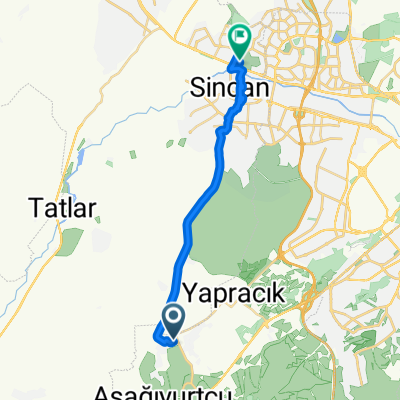
A cycling route starting in Etimesgut, Ankara Province, Republic of Türkiye.
Overview
About this route
Etiler neighborhood
- 36 min
- Duration
- 4.9 km
- Distance
- 14 m
- Ascent
- 13 m
- Descent
- 8.3 km/h
- Avg. speed
- ---
- Max. altitude
Route highlights
Points of interest along the route
Point of interest after 4.9 km
mahalle turu
Continue with Bikemap
Use, edit, or download this cycling route
You would like to ride mahalle turu or customize it for your own trip? Here is what you can do with this Bikemap route:
Free features
- Save this route as favorite or in collections
- Copy & plan your own version of this route
- Sync your route with Garmin or Wahoo
Premium features
Free trial for 3 days, or one-time payment. More about Bikemap Premium.
- Navigate this route on iOS & Android
- Export a GPX / KML file of this route
- Create your custom printout (try it for free)
- Download this route for offline navigation
Discover more Premium features.
Get Bikemap PremiumFrom our community
Other popular routes starting in Etimesgut
- Çayyolu-Ümitköy-Park Cd
- Distance
- 13.3 km
- Ascent
- 140 m
- Descent
- 137 m
- Location
- Etimesgut, Ankara Province, Republic of Türkiye
- Bağlıca Bulvarı to Dumlupınar 30 Ağustos Caddesi 2
- Distance
- 20.7 km
- Ascent
- 69 m
- Descent
- 131 m
- Location
- Etimesgut, Ankara Province, Republic of Türkiye
- Alacatlı Köyü Elmalı Mevki Sokak 1141 B to Alacatlı Köyü Elmalı Mevki Sokak 1141 B
- Distance
- 14 km
- Ascent
- 285 m
- Descent
- 283 m
- Location
- Etimesgut, Ankara Province, Republic of Türkiye
- Gezi Güzergahı
- Distance
- 2,237.8 km
- Ascent
- 3,992 m
- Descent
- 3,553 m
- Location
- Etimesgut, Ankara Province, Republic of Türkiye
- Çayyolu to Eymir (İncek, Tuluntaş, Gölbaşı üzerinden)
- Distance
- 36.2 km
- Ascent
- 448 m
- Descent
- 349 m
- Location
- Etimesgut, Ankara Province, Republic of Türkiye
- Cumhuriyet Rotası
- Distance
- 76.7 km
- Ascent
- 583 m
- Descent
- 580 m
- Location
- Etimesgut, Ankara Province, Republic of Türkiye
- mahalle turu
- Distance
- 4.9 km
- Ascent
- 14 m
- Descent
- 13 m
- Location
- Etimesgut, Ankara Province, Republic of Türkiye
- Çayyolu Yapracık Türkobası Malıköy Çayyolu
- Distance
- 68 km
- Ascent
- 725 m
- Descent
- 725 m
- Location
- Etimesgut, Ankara Province, Republic of Türkiye
Open it in the app