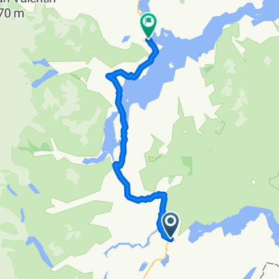
E 5 Dia C. Aust ALDANA - COCHRANE
- 64.8 km
- 1,146 m
- 1,229 m
- Cochrane, Aysén, Chile
A cycling route starting in Cochrane, Aysén, Chile.
Overview
329 km
created this 8 years ago
Route quality
Cycleway
309.7 km
(94 %)
Track
13.2 km
(4 %)
Paved
108.7 km
(33 %)
Unpaved
214.2 km
(65 %)
Unpaved (undefined)
135.1 km
(41 %)
Gravel
75.8 km
(23 %)
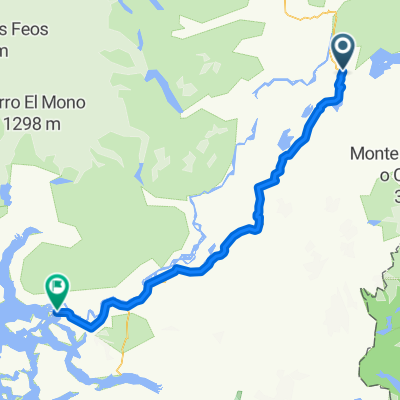
Route highlights
Cochrane
Coyhaique
Continue with Bikemap
You would like to ride Carretera Austral Cochrane -Coyhaique or customize it for your own trip? Here is what you can do with this Bikemap route:
Free trial for 3 days, or one-time payment. More about Bikemap Premium.
Discover more Premium features.
Get Bikemap PremiumFrom our community
Open it in the app