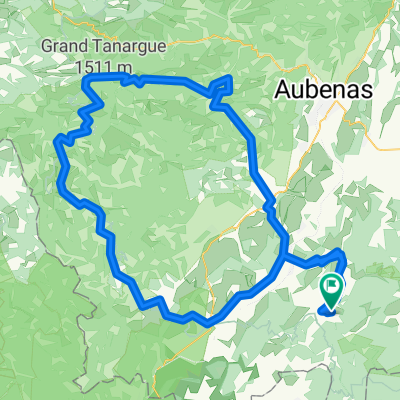
Vallon-Pont-d'Arc SCHLUCHT 80km 4000HM
- 79.1 km
- 4,167 m
- 4,162 m
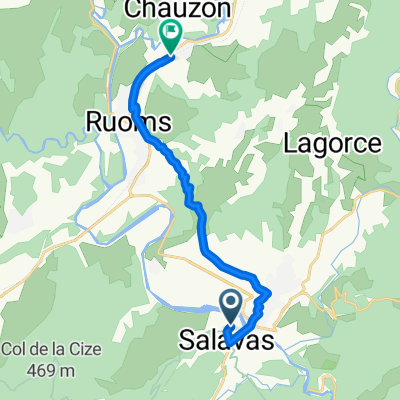
- Ruoms, Auvergne-Rhône-Alpes, France
A cycling route starting in Ruoms, Auvergne-Rhône-Alpes, France.
Overview
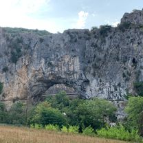
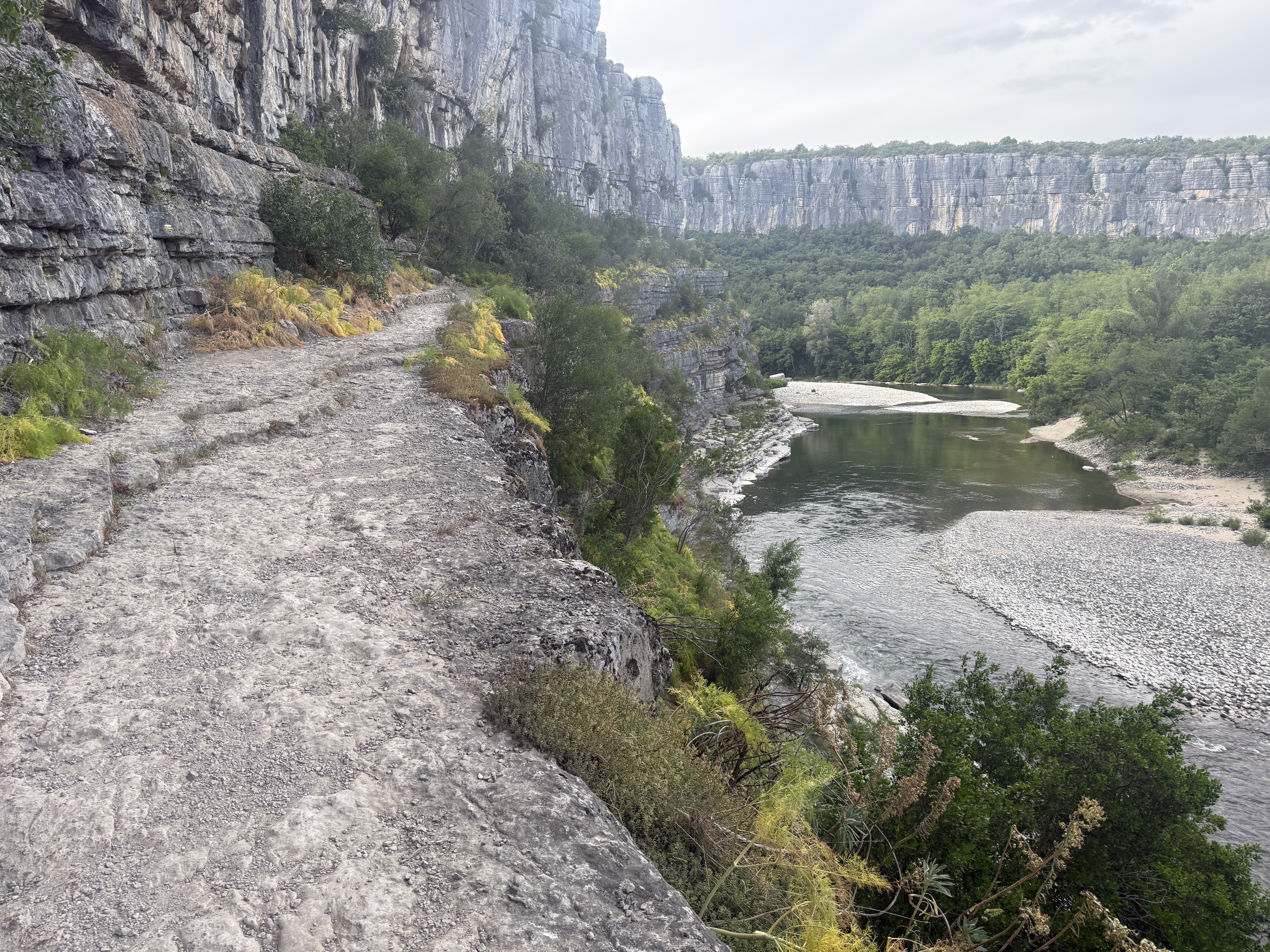
Beautiful ride through the Ardeche and the hinterland. Little traffic when riding through the Ardeche early in the morning! Coffee in St. Martin :-)
created this 8 years ago

Route quality
Road
57.7 km
(52 %)
Quiet road
7.8 km
(7 %)
Paved
64.3 km
(58 %)
Asphalt
64.3 km
(58 %)
Undefined
46.6 km
(42 %)
Continue with Bikemap
You would like to ride frr_ardeche_vpd_110km or customize it for your own trip? Here is what you can do with this Bikemap route:
Free trial for 3 days, or one-time payment. More about Bikemap Premium.
Discover more Premium features.
Get Bikemap PremiumFrom our community
Open it in the app