Altusried - Gschnaidt - Kürnach - Wiggensbach
A cycling route starting in Altusried, Bavaria, Germany.
Overview
About this route
Von Altusried geht es über geteerte Straßen nach Kimratshofen. Von dort steigt es dann stetig an bis nach Geschnaidt.
Oben angekommen folgt man dem Schotterweg durch den Hohentanner Wald. Irgendwann gehts rechts abwärts in Richtung Hofgut Kürnach.
Ab da folgt man wieder dem Straßenverlauf bis Oberkürnach. Dort biegt man in Richtung Schmidtsreute ab. Mit 17% Steigung der steilste Anstieg der Route.
In Wiggensbach angekommen folgt man wieder dem Straßenverlauf bis Altusried.
- -:--
- Duration
- 30.5 km
- Distance
- 652 m
- Ascent
- 590 m
- Descent
- ---
- Avg. speed
- 989 m
- Max. altitude
Route quality
Waytypes & surfaces along the route
Waytypes
Quiet road
11.3 km
(37 %)
Road
8 km
(26 %)
Surfaces
Paved
19.9 km
(65 %)
Unpaved
5.4 km
(18 %)
Asphalt
19.7 km
(65 %)
Gravel
4.7 km
(16 %)
Continue with Bikemap
Use, edit, or download this cycling route
You would like to ride Altusried - Gschnaidt - Kürnach - Wiggensbach or customize it for your own trip? Here is what you can do with this Bikemap route:
Free features
- Save this route as favorite or in collections
- Copy & plan your own version of this route
- Sync your route with Garmin or Wahoo
Premium features
Free trial for 3 days, or one-time payment. More about Bikemap Premium.
- Navigate this route on iOS & Android
- Export a GPX / KML file of this route
- Create your custom printout (try it for free)
- Download this route for offline navigation
Discover more Premium features.
Get Bikemap PremiumFrom our community
Other popular routes starting in Altusried
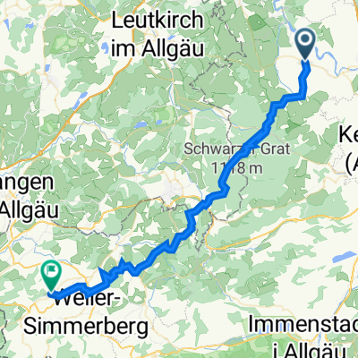
 Hauptstraße 20, Altusried nach St2383 9, Lindenberg im Allgäu
- Distance
- 47.3 km
- Ascent
- 1,389 m
- Descent
- 1,349 m
- Location
- Altusried, Bavaria, Germany
 Kimratshofen-Isny-20200827
- Distance
- 62.4 km
- Ascent
- 376 m
- Descent
- 376 m
- Location
- Altusried, Bavaria, Germany
 Unterkürnach
- Distance
- 26.4 km
- Ascent
- 588 m
- Descent
- 528 m
- Location
- Altusried, Bavaria, Germany
 UT 03-2023: Altusried - Ulm
- Distance
- 84.5 km
- Ascent
- 383 m
- Descent
- 629 m
- Location
- Altusried, Bavaria, Germany
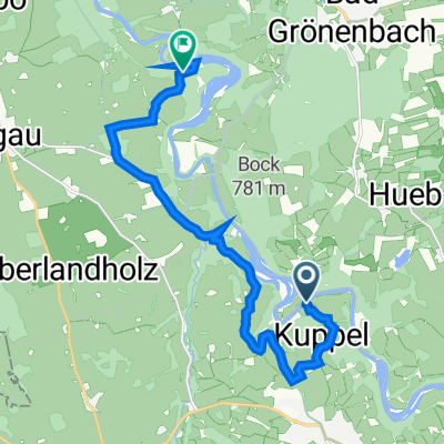
 Kleine Grönenbach-Runde
- Distance
- 28.1 km
- Ascent
- 372 m
- Descent
- 426 m
- Location
- Altusried, Bavaria, Germany
 Fischers 5, Altusried nach Legau
- Distance
- 13.5 km
- Ascent
- 304 m
- Descent
- 276 m
- Location
- Altusried, Bavaria, Germany
 MTB Altusried-Leutkirch
- Distance
- 31.5 km
- Ascent
- 360 m
- Descent
- 432 m
- Location
- Altusried, Bavaria, Germany
 Altusried-Unterthingau-Isny-Altusried
- Distance
- 107 km
- Ascent
- 752 m
- Descent
- 757 m
- Location
- Altusried, Bavaria, Germany
Open it in the app


