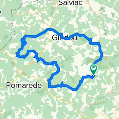
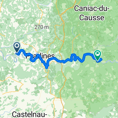
carnac rouffiac
A cycling route starting in Luzech, Occitanie, France.
Overview
About this route
The more information you write here, the more you help other users of your route.* Road course.* What is the particularity of the road?* Why do you recommend the route?* What are the highlights?* Etc.
- -:--
- Duration
- 108.5 km
- Distance
- 1,767 m
- Ascent
- 1,844 m
- Descent
- ---
- Avg. speed
- 340 m
- Max. altitude
Route quality
Waytypes & surfaces along the route
Waytypes
Road
49.9 km
(46 %)
Quiet road
21.7 km
(20 %)
Surfaces
Paved
5.4 km
(5 %)
Asphalt
4.3 km
(4 %)
Concrete
1.1 km
(1 %)
Undefined
103.1 km
(95 %)
Continue with Bikemap
Use, edit, or download this cycling route
You would like to ride carnac rouffiac or customize it for your own trip? Here is what you can do with this Bikemap route:
Free features
- Save this route as favorite or in collections
- Copy & plan your own version of this route
- Split it into stages to create a multi-day tour
- Sync your route with Garmin or Wahoo
Premium features
Free trial for 3 days, or one-time payment. More about Bikemap Premium.
- Navigate this route on iOS & Android
- Export a GPX / KML file of this route
- Create your custom printout (try it for free)
- Download this route for offline navigation
Discover more Premium features.
Get Bikemap PremiumFrom our community
Other popular routes starting in Luzech
- Albas saint laurin
- Distance
- 55.4 km
- Ascent
- 269 m
- Descent
- 296 m
- Location
- Luzech, Occitanie, France
- FdO CP3 Caumont
- Distance
- 102.4 km
- Ascent
- 855 m
- Descent
- 910 m
- Location
- Luzech, Occitanie, France
- 40K MONGESTY - ST GER DU BEL-AIR
- Distance
- 38.6 km
- Ascent
- 620 m
- Descent
- 635 m
- Location
- Luzech, Occitanie, France
- J5 Court Sauzet - Cabrerets
- Distance
- 77.1 km
- Ascent
- 998 m
- Descent
- 1,137 m
- Location
- Luzech, Occitanie, France
- 07_Albas>Aiguillon
- Distance
- 122 km
- Ascent
- 227 m
- Descent
- 317 m
- Location
- Luzech, Occitanie, France
- 50K MONGESTY - THEDIRAC - CAZALS - LES GUNIES
- Distance
- 49.6 km
- Ascent
- 800 m
- Descent
- 797 m
- Location
- Luzech, Occitanie, France
- 30K MONGESTY - LE FAU
- Distance
- 29.8 km
- Ascent
- 395 m
- Descent
- 398 m
- Location
- Luzech, Occitanie, France
- CB2014#3 - Luzech Villeneuve s/ Lot
- Distance
- 85.2 km
- Ascent
- 324 m
- Descent
- 367 m
- Location
- Luzech, Occitanie, France
Open it in the app