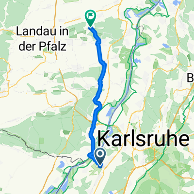
Badische Eröffnungsfahrt - RTF des RSV Concordia 1920 Forchheim e.V. - 54 km Strecke
- 54.2 km
- 152 m
- 149 m
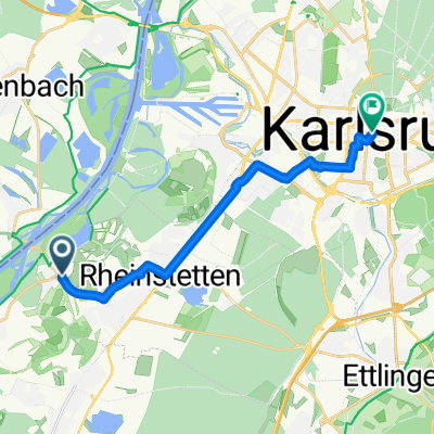
- Rheinstetten, Baden-Wurttemberg, Germany
A cycling route starting in Rheinstetten, Baden-Wurttemberg, Germany.
Overview
Badische Opening Ride - 54 km
RTF of RSV Concordia 1920 Forchheim e.V.
All further details about this route -> click here
created this 8 years ago
Route quality
Road
15.2 km
(28 %)
Path
13.5 km
(25 %)
Paved
53.1 km
(98 %)
Asphalt
52 km
(96 %)
Paved (undefined)
1.1 km
(2 %)
Undefined
1.1 km
(2 %)
Continue with Bikemap
You would like to ride Badische Eröffnungsfahrt - RTF des RSV Concordia 1920 Forchheim e.V. - 54 km Strecke or customize it for your own trip? Here is what you can do with this Bikemap route:
Free trial for 3 days, or one-time payment. More about Bikemap Premium.
Discover more Premium features.
Get Bikemap PremiumFrom our community
Open it in the app