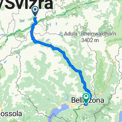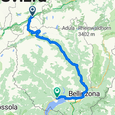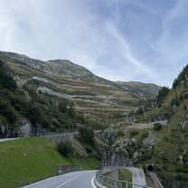
Furkastrasse, Realp nach Ritystrasse, Brigerbad
- 70.6 km
- 558 m
- 2,246 m
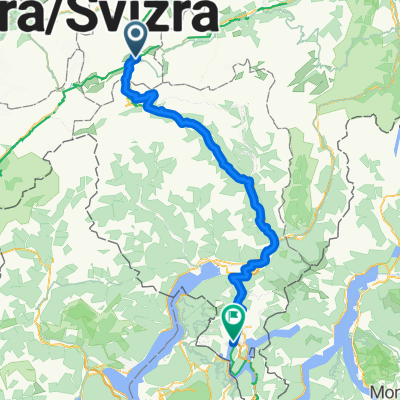
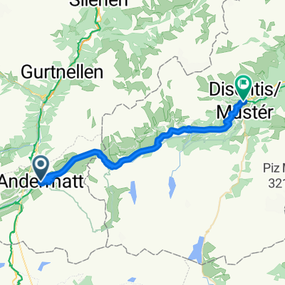
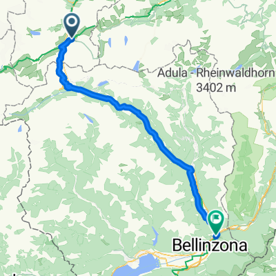
- Andermatt, Canton of Uri, Switzerland
A cycling route starting in Andermatt, Canton of Uri, Switzerland.
Overview
TAHUNA track
created this 8 years ago
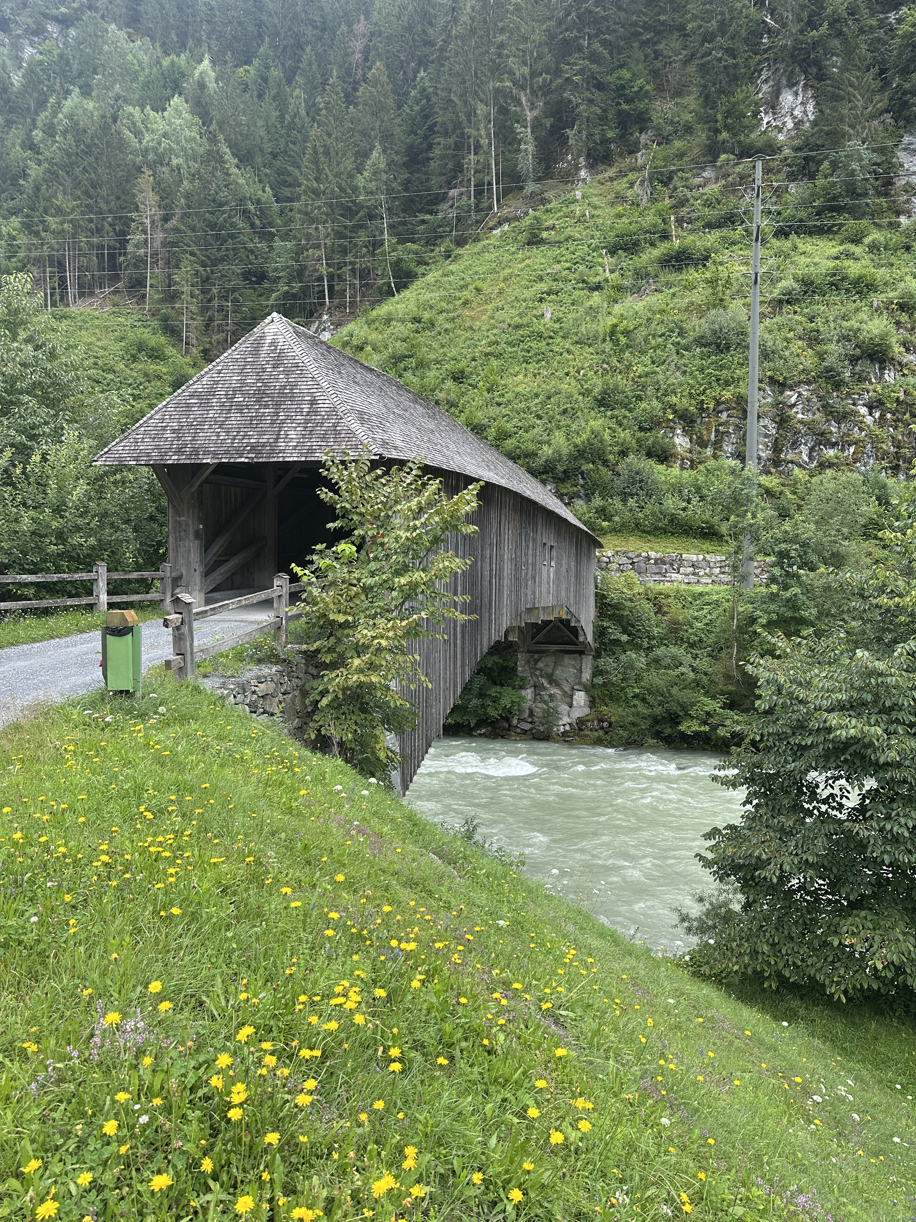
Route quality
Quiet road
339.2 km
(25 %)
Track
339.2 km
(25 %)
Paved
963.2 km
(71 %)
Unpaved
176.4 km
(13 %)
Asphalt
922.5 km
(68 %)
Gravel
149.2 km
(11 %)
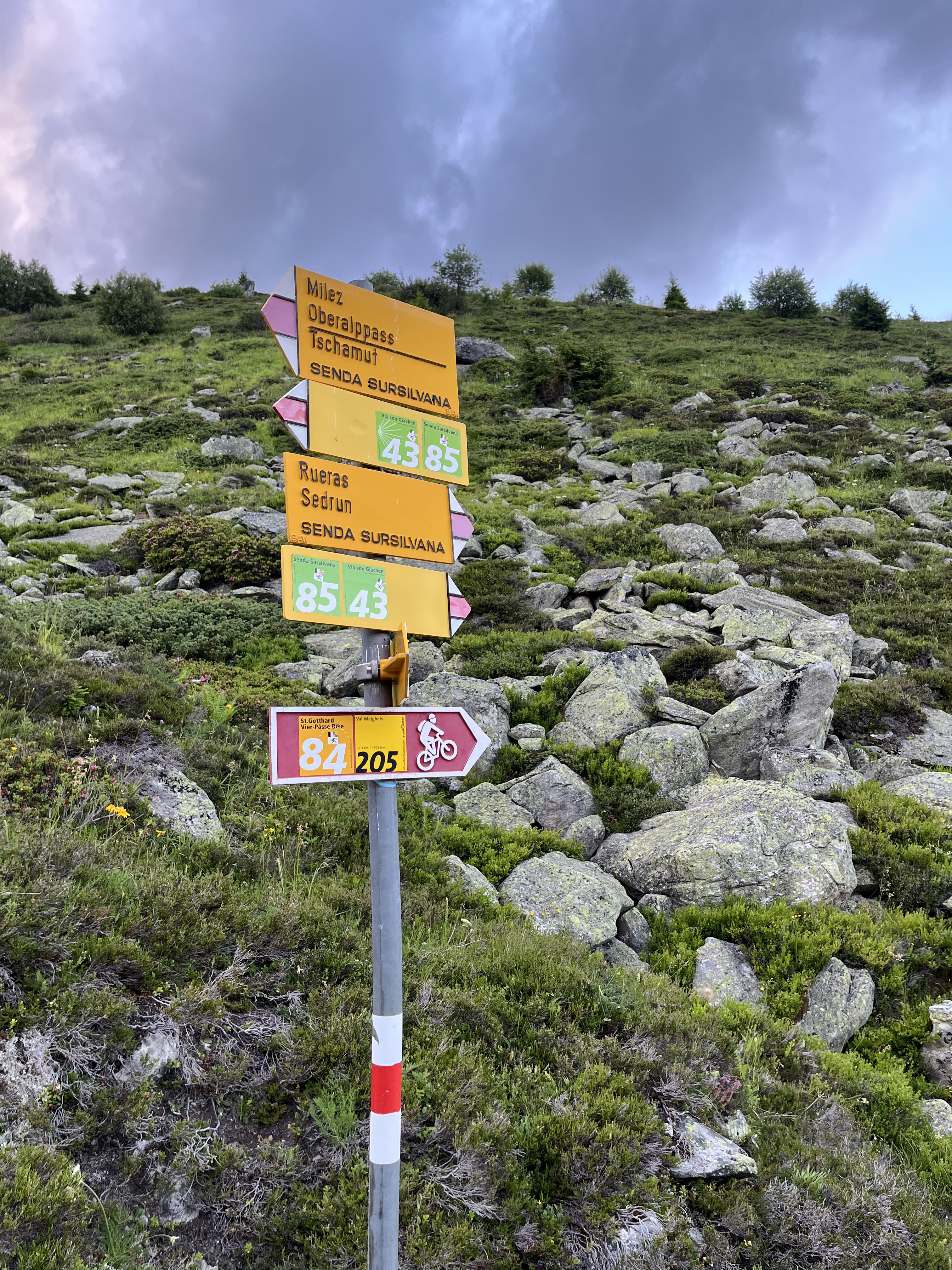
Route highlights

Der Rheinfall ist der größte Wasserfall Europas, neben dem doppelt so hohen, aber halb so wasserreichen Dettifoss auf Island. Er befindet sich in der Schweiz auf dem Gebiet der Gemeinden Neuhausen am Rheinfall im Kanton Schaffhausen (rechtsufrig) und Laufen-Uhwiesen im Kanton Zürich (linksufrig), ru

Loreley Die Loreley ist ein Schieferfelsen im UNESCO-Welterbe Oberes Mittelrheintal bei Sankt Goarshausen, der sich am östlichen, rechten, Rheinufer als 132 Meter (193,14 m ü. NN) hoher steil aufragender Felsriegel dem Strom in den Weg stellt. Der Blick von oben auf die Rheinkurven und auf Sankt G

Der Geysir Andernach (vormals Namedyer Sprudel) ist mit 50 bis 60 Metern der weltweit höchste Kaltwassergeysir. Der Geysir wurde 1903 erstmals auf dem Namedyer Werth, einer Halbinsel im Rhein bei Andernach, erbohrt. Er ist seit 2006 touristisch erschlossen und eine der Attraktionen im Vulkanpark sow
Der Archäologische Park Xanten ist ein Freilichtmuseum mit auf original Fundamenten rekonstruierten römischen Bauten der Colonia Ulpia Traiana in Xanten. In den Park ist das RömerMuseum Xanten integriert.
Continue with Bikemap
You would like to ride Rhein-Radweg or customize it for your own trip? Here is what you can do with this Bikemap route:
Free trial for 3 days, or one-time payment. More about Bikemap Premium.
Discover more Premium features.
Get Bikemap PremiumFrom our community
Open it in the app