

Ahlerstedter Apfeltag-Runde
A cycling route starting in Ahlerstedt, Lower Saxony, Germany.
Overview
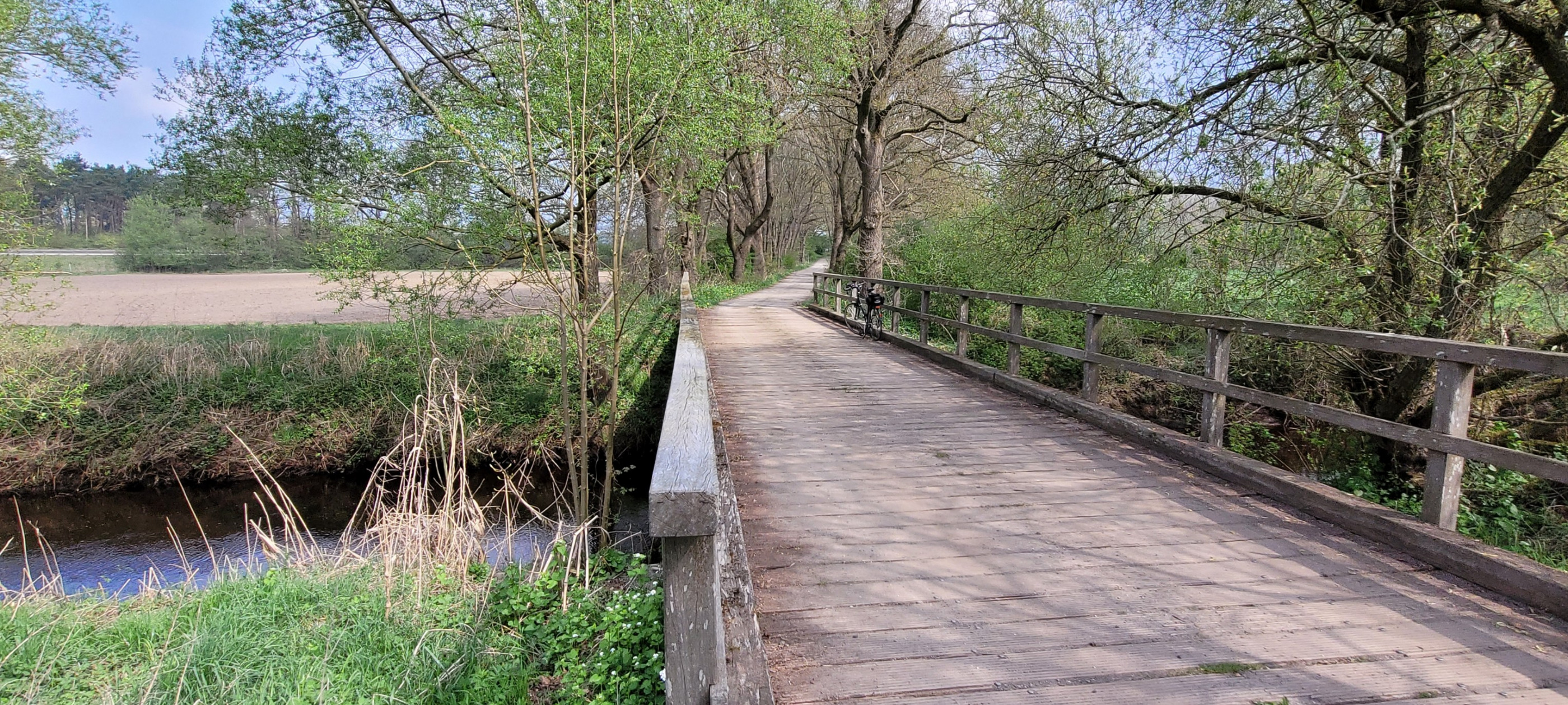
About this route
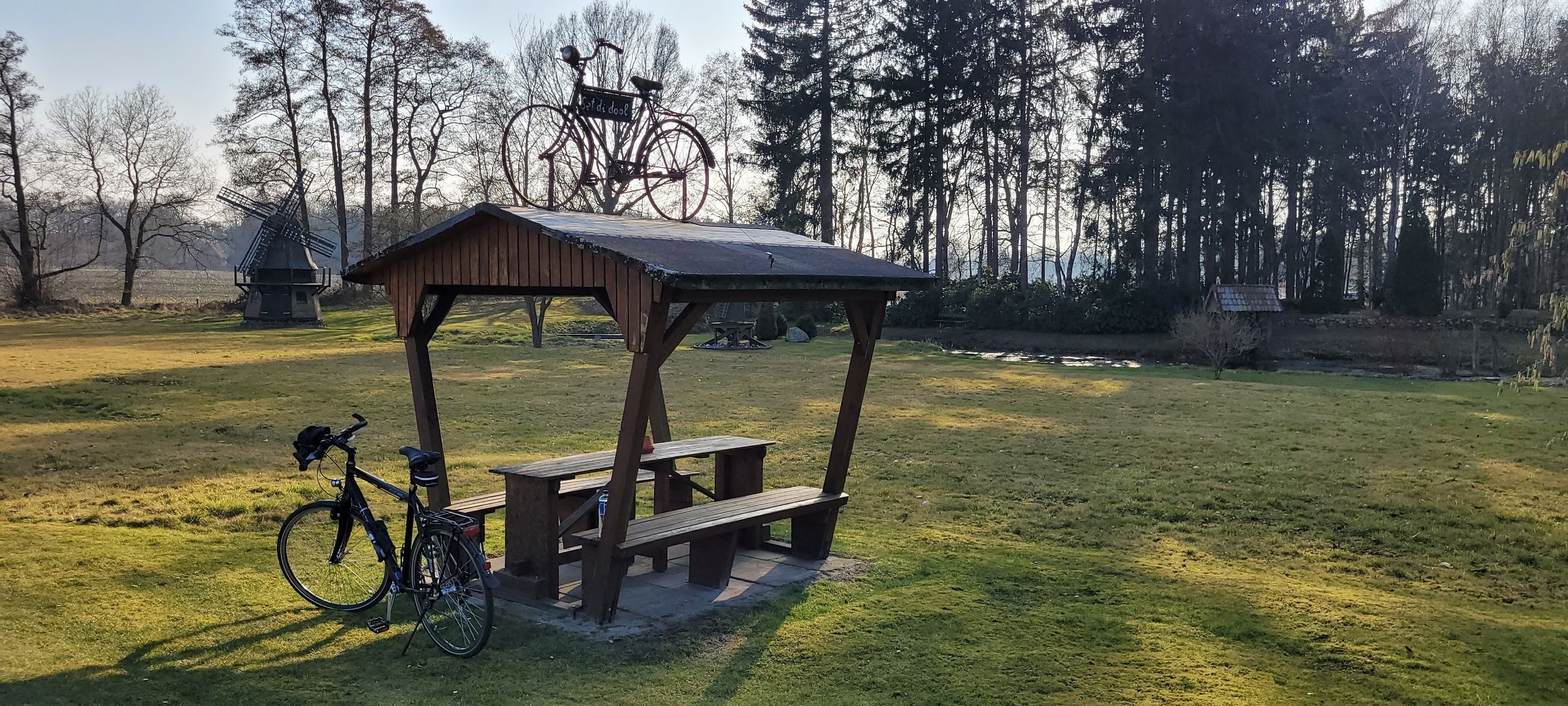
Parkplatz am Startpunkt.
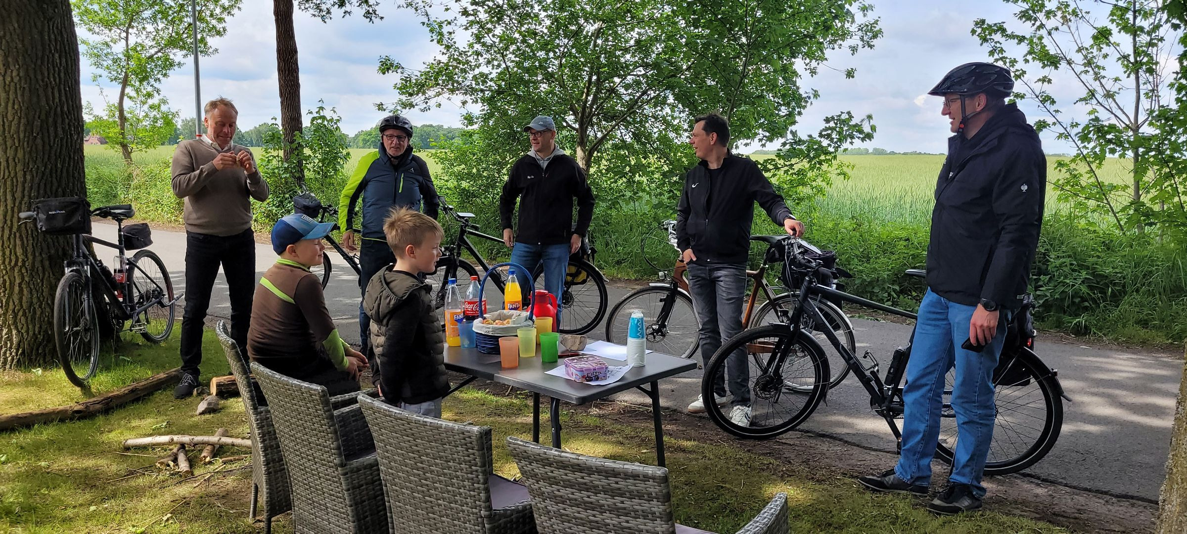
Zwischenziel und eigentliches Ziel ist der Apfeltag in Ahlerstedt mit seiner gemütlichen Atmosphäre :))
- -:--
- Duration
- 8.1 km
- Distance
- 12 m
- Ascent
- 12 m
- Descent
- ---
- Avg. speed
- ---
- Max. altitude

Route quality
Waytypes & surfaces along the route
Waytypes
Track
3.2 km
(40 %)
Quiet road
2.4 km
(30 %)
Surfaces
Paved
6.4 km
(79 %)
Paved (undefined)
5.1 km
(63 %)
Asphalt
1.3 km
(17 %)
Undefined
1.7 km
(21 %)
Continue with Bikemap
Use, edit, or download this cycling route
You would like to ride Ahlerstedter Apfeltag-Runde or customize it for your own trip? Here is what you can do with this Bikemap route:
Free features
- Save this route as favorite or in collections
- Copy & plan your own version of this route
- Sync your route with Garmin or Wahoo
Premium features
Free trial for 3 days, or one-time payment. More about Bikemap Premium.
- Navigate this route on iOS & Android
- Export a GPX / KML file of this route
- Create your custom printout (try it for free)
- Download this route for offline navigation
Discover more Premium features.
Get Bikemap PremiumFrom our community
Other popular routes starting in Ahlerstedt
 Rotenburg Wümme
- Distance
- 85.8 km
- Ascent
- 284 m
- Descent
- 283 m
- Location
- Ahlerstedt, Lower Saxony, Germany
 Lengenbostel
- Distance
- 46.6 km
- Ascent
- 114 m
- Descent
- 115 m
- Location
- Ahlerstedt, Lower Saxony, Germany
 Vatertag 2017
- Distance
- 53.3 km
- Ascent
- 113 m
- Descent
- 113 m
- Location
- Ahlerstedt, Lower Saxony, Germany
 Brauel
- Distance
- 36.7 km
- Ascent
- 138 m
- Descent
- 138 m
- Location
- Ahlerstedt, Lower Saxony, Germany
 Oldendorf
- Distance
- 79.3 km
- Ascent
- 124 m
- Descent
- 124 m
- Location
- Ahlerstedt, Lower Saxony, Germany
 Alpershausen
- Distance
- 62.6 km
- Ascent
- 200 m
- Descent
- 200 m
- Location
- Ahlerstedt, Lower Saxony, Germany
 Ahlerstedter Apfeltag-Runde
- Distance
- 8.1 km
- Ascent
- 12 m
- Descent
- 12 m
- Location
- Ahlerstedt, Lower Saxony, Germany
 Vatertag 2025
- Distance
- 68.5 km
- Ascent
- 172 m
- Descent
- 172 m
- Location
- Ahlerstedt, Lower Saxony, Germany
Open it in the app