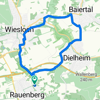
Rauenberg - Schatthausen -Oberhof Runde
A cycling route starting in Rauenberg, Baden-Württemberg, Germany.
Overview
About this route
ist noch im Test
- -:--
- Duration
- 19.8 km
- Distance
- 206 m
- Ascent
- 202 m
- Descent
- ---
- Avg. speed
- 217 m
- Avg. speed
Route quality
Waytypes & surfaces along the route
Waytypes
Quiet road
8.5 km
(43 %)
Track
5.3 km
(27 %)
Surfaces
Paved
16 km
(81 %)
Asphalt
14.7 km
(74 %)
Paving stones
0.7 km
(4 %)
Continue with Bikemap
Use, edit, or download this cycling route
You would like to ride Rauenberg - Schatthausen -Oberhof Runde or customize it for your own trip? Here is what you can do with this Bikemap route:
Free features
- Save this route as favorite or in collections
- Copy & plan your own version of this route
- Sync your route with Garmin or Wahoo
Premium features
Free trial for 3 days, or one-time payment. More about Bikemap Premium.
- Navigate this route on iOS & Android
- Export a GPX / KML file of this route
- Create your custom printout (try it for free)
- Download this route for offline navigation
Discover more Premium features.
Get Bikemap PremiumFrom our community
Other popular routes starting in Rauenberg
- Rauenberg Cyclo 2025
- Distance
- 53.1 km
- Ascent
- 766 m
- Descent
- 765 m
- Location
- Rauenberg, Baden-Württemberg, Germany
- Rauenberg - Flugplatzrunde
- Distance
- 23.1 km
- Ascent
- 122 m
- Descent
- 132 m
- Location
- Rauenberg, Baden-Württemberg, Germany
- Rauenberg - Eschelbach - Balzfeld Runde
- Distance
- 24.1 km
- Ascent
- 195 m
- Descent
- 194 m
- Location
- Rauenberg, Baden-Württemberg, Germany
- Rauenberg - Schatthausen -Oberhof Runde
- Distance
- 19.8 km
- Ascent
- 206 m
- Descent
- 202 m
- Location
- Rauenberg, Baden-Württemberg, Germany
- Kraichgauroute Rauenberg-Eschelbach-Rauenberg
- Distance
- 20.2 km
- Ascent
- 161 m
- Descent
- 159 m
- Location
- Rauenberg, Baden-Württemberg, Germany
- Rauenberg - Wiesloch Weinberge
- Distance
- 12 km
- Ascent
- 79 m
- Descent
- 80 m
- Location
- Rauenberg, Baden-Württemberg, Germany
- Rauenberg - kurze Frauenweiler Runde
- Distance
- 10.2 km
- Ascent
- 34 m
- Descent
- 41 m
- Location
- Rauenberg, Baden-Württemberg, Germany
- Rauenberg - Tairnbach
- Distance
- 6.2 km
- Ascent
- 51 m
- Descent
- 15 m
- Location
- Rauenberg, Baden-Württemberg, Germany
Open it in the app