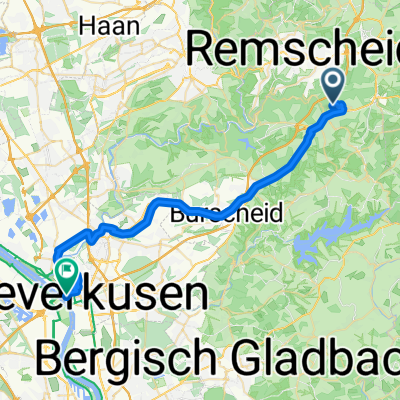
Wk-Drachenfels
A cycling route starting in Wermelskirchen, North Rhine-Westphalia, Germany.
Overview
About this route
very nice, always gladly. The journey is the destination
- -:--
- Duration
- 97.3 km
- Distance
- 290 m
- Ascent
- 514 m
- Descent
- ---
- Avg. speed
- ---
- Max. altitude
Route photos
Route quality
Waytypes & surfaces along the route
Waytypes
Path
48.7 km
(50 %)
Quiet road
19.5 km
(20 %)
Surfaces
Paved
84.7 km
(87 %)
Unpaved
1.9 km
(2 %)
Asphalt
81.8 km
(84 %)
Concrete
1.9 km
(2 %)
Continue with Bikemap
Use, edit, or download this cycling route
You would like to ride Wk-Drachenfels or customize it for your own trip? Here is what you can do with this Bikemap route:
Free features
- Save this route as favorite or in collections
- Copy & plan your own version of this route
- Split it into stages to create a multi-day tour
- Sync your route with Garmin or Wahoo
Premium features
Free trial for 3 days, or one-time payment. More about Bikemap Premium.
- Navigate this route on iOS & Android
- Export a GPX / KML file of this route
- Create your custom printout (try it for free)
- Download this route for offline navigation
Discover more Premium features.
Get Bikemap PremiumFrom our community
Other popular routes starting in Wermelskirchen
- BL17_Burg-Sengbachtalsperre
- Distance
- 7.4 km
- Ascent
- 243 m
- Descent
- 243 m
- Location
- Wermelskirchen, North Rhine-Westphalia, Germany
- Wermelskirchen - Sengbachtalsperre - Eifgen und zurück
- Distance
- 26.3 km
- Ascent
- 378 m
- Descent
- 380 m
- Location
- Wermelskirchen, North Rhine-Westphalia, Germany
- 26102008 Sonntagstour
- Distance
- 30.4 km
- Ascent
- 509 m
- Descent
- 576 m
- Location
- Wermelskirchen, North Rhine-Westphalia, Germany
- Landschaftlich ruhige talsperrenrunde
- Distance
- 84.6 km
- Ascent
- 565 m
- Descent
- 576 m
- Location
- Wermelskirchen, North Rhine-Westphalia, Germany
- Herbsttour zur Ahr
- Distance
- 121.7 km
- Ascent
- 128 m
- Descent
- 297 m
- Location
- Wermelskirchen, North Rhine-Westphalia, Germany
- Wk-Drachenfels
- Distance
- 97.3 km
- Ascent
- 290 m
- Descent
- 514 m
- Location
- Wermelskirchen, North Rhine-Westphalia, Germany
- Rund um die Dhünntalsperrre
- Distance
- 38.9 km
- Ascent
- 540 m
- Descent
- 543 m
- Location
- Wermelskirchen, North Rhine-Westphalia, Germany
- :aqualon-Runde
- Distance
- 55.5 km
- Ascent
- 510 m
- Descent
- 510 m
- Location
- Wermelskirchen, North Rhine-Westphalia, Germany
Open it in the app