
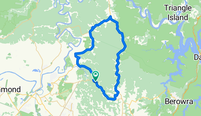
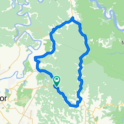
Glenorie-rural ride
A cycling route starting in Glenorie, New South Wales, Australia.
Overview
About this route
This route is one of about 50 k. It is best done in the morning when the traffic is headed in the opposite direction. It is a good ride with a number of hilly sections. Follow cattai ridge road and turn off at Post Office road to avoid the hair pin turns before Old Northern road.Follow Old Northern road and turn off into Wisemans ferry road for the ride to the bottom of Halcrow road and then follow Halcrow road until the corner of Cattai Ridge and Halcrow road where the ride ends.
- -:--
- Duration
- 51.7 km
- Distance
- 385 m
- Ascent
- 428 m
- Descent
- ---
- Avg. speed
- 229 m
- Avg. speed
Route quality
Waytypes & surfaces along the route
Waytypes
Busy road
43.7 km
(84 %)
Quiet road
7.2 km
(14 %)
Surfaces
Paved
50.9 km
(98 %)
Paved (undefined)
25.8 km
(50 %)
Asphalt
25.1 km
(49 %)
Undefined
0.8 km
(2 %)
Continue with Bikemap
Use, edit, or download this cycling route
You would like to ride Glenorie-rural ride or customize it for your own trip? Here is what you can do with this Bikemap route:
Free features
- Save this route as favorite or in collections
- Copy & plan your own version of this route
- Sync your route with Garmin or Wahoo
Premium features
Free trial for 3 days, or one-time payment. More about Bikemap Premium.
- Navigate this route on iOS & Android
- Export a GPX / KML file of this route
- Create your custom printout (try it for free)
- Download this route for offline navigation
Discover more Premium features.
Get Bikemap PremiumFrom our community
Other popular routes starting in Glenorie
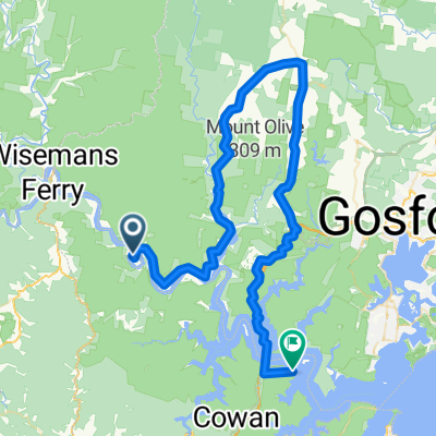 Gunderman to Brookyln
- Distance
- 78.5 km
- Ascent
- 488 m
- Descent
- 503 m
- Location
- Glenorie, New South Wales, Australia
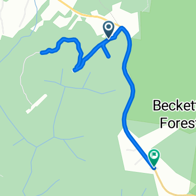 maroota tracks
- Distance
- 5.9 km
- Ascent
- 113 m
- Descent
- 94 m
- Location
- Glenorie, New South Wales, Australia
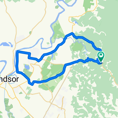
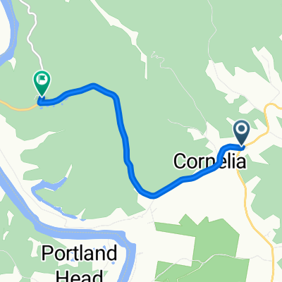 3 Sackville Ferry Rd, South Maroota to 2–18 River Rd, Sackville North
- Distance
- 5.5 km
- Ascent
- 25 m
- Descent
- 48 m
- Location
- Glenorie, New South Wales, Australia
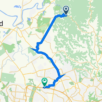 Cattai Ridge Road, Glenorie to Pye Road 60, Quakers Hill
- Distance
- 29.3 km
- Ascent
- 197 m
- Descent
- 227 m
- Location
- Glenorie, New South Wales, Australia
 Tar 'n' Dirt
- Distance
- 197.3 km
- Ascent
- 1,009 m
- Descent
- 1,002 m
- Location
- Glenorie, New South Wales, Australia
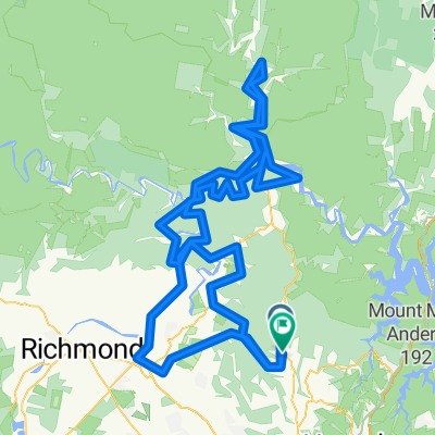
 Cattai ridge ride
- Distance
- 33.4 km
- Ascent
- 218 m
- Descent
- 218 m
- Location
- Glenorie, New South Wales, Australia
 Glenorie-rural ride
- Distance
- 51.7 km
- Ascent
- 385 m
- Descent
- 428 m
- Location
- Glenorie, New South Wales, Australia
Open it in the app