Nibelungen-Tour - 45 km Permanente des RSV Rheindürkheim e.V.
- 50.2 km
- 186 m
- 189 m
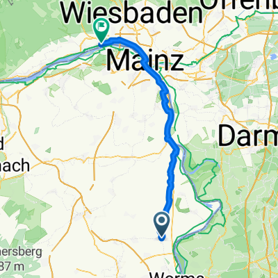
- Osthofen, Rhineland-Palatinate, Germany
A cycling route starting in Osthofen, Rhineland-Palatinate, Germany.
Overview
created this 8 years ago

Route quality
Track
28.5 km
(33 %)
Quiet road
16.4 km
(19 %)
Paved
52.7 km
(61 %)
Unpaved
13.8 km
(16 %)
Asphalt
40.6 km
(47 %)
Paved (undefined)
10.4 km
(12 %)
Continue with Bikemap
You would like to ride OH - Lindemannsruh or customize it for your own trip? Here is what you can do with this Bikemap route:
Free trial for 3 days, or one-time payment. More about Bikemap Premium.
Discover more Premium features.
Get Bikemap PremiumFrom our community
Open it in the app