Höllental - Ibenbachtal - St. Peter - Glottertal
- 43.6 km
- 536 m
- 538 m
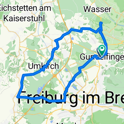
- Gundelfingen, Baden-Wurttemberg, Germany
A cycling route starting in Gundelfingen, Baden-Wurttemberg, Germany.
Overview
Challenging tour. It is best to go in the early morning hours of the weekend, as Schauinsland is closed to motorcyclists and the ascent to Belchen is still not very busy.
At the valley station of the Belchen cable car, a short (about 300 m long) gravel section must be crossed. From then on, however, free passage to the summit (car-free zone).
created this 17 years ago
Route quality
Quiet road
15.3 km
(14 %)
Track
15.3 km
(14 %)
Paved
94 km
(86 %)
Unpaved
8.7 km
(8 %)
Asphalt
90.7 km
(83 %)
Gravel
4.4 km
(4 %)
Continue with Bikemap
You would like to ride Gundelfingen - Schauinsland - Belchen und zurück or customize it for your own trip? Here is what you can do with this Bikemap route:
Free trial for 3 days, or one-time payment. More about Bikemap Premium.
Discover more Premium features.
Get Bikemap PremiumFrom our community
Open it in the app