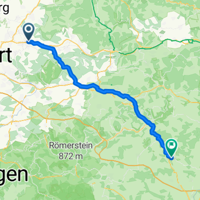
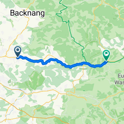
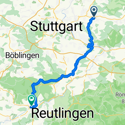
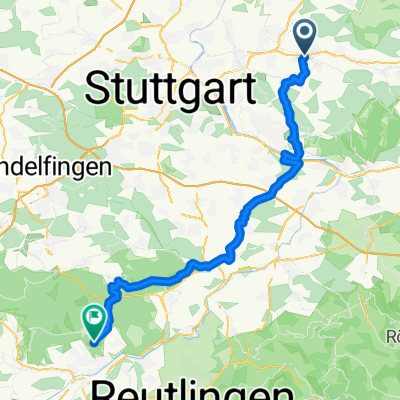
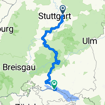
Remstal - Fellbach - Strümpfelbach durch die Weinberge
A cycling route starting in Weinstadt-Endersbach, Baden-Wurttemberg, Germany.
Overview
About this route
- -:--
- Duration
- 34.5 km
- Distance
- 379 m
- Ascent
- 377 m
- Descent
- ---
- Avg. speed
- ---
- Max. altitude
Route photos
Route quality
Waytypes & surfaces along the route
Waytypes
Track
14.8 km
(43 %)
Quiet road
10.7 km
(31 %)
Surfaces
Paved
32.1 km
(93 %)
Unpaved
0.3 km
(1 %)
Asphalt
29.3 km
(85 %)
Paved (undefined)
2.1 km
(6 %)
Continue with Bikemap
Use, edit, or download this cycling route
You would like to ride Remstal - Fellbach - Strümpfelbach durch die Weinberge or customize it for your own trip? Here is what you can do with this Bikemap route:
Free features
- Save this route as favorite or in collections
- Copy & plan your own version of this route
- Sync your route with Garmin or Wahoo
Premium features
Free trial for 3 days, or one-time payment. More about Bikemap Premium.
- Navigate this route on iOS & Android
- Export a GPX / KML file of this route
- Create your custom printout (try it for free)
- Download this route for offline navigation
Discover more Premium features.
Get Bikemap PremiumFrom our community
Other popular routes starting in Weinstadt-Endersbach
Stuttgart Neckar Rems Weinberg Stuttgart- Distance
- 51.3 km
- Ascent
- 347 m
- Descent
- 347 m
- Location
- Weinstadt-Endersbach, Baden-Wurttemberg, Germany
übers Käppele zum Karlstein- Distance
- 17.7 km
- Ascent
- 394 m
- Descent
- 395 m
- Location
- Weinstadt-Endersbach, Baden-Wurttemberg, Germany
Remstal Weinberge Remshalden - Waiblingen- Distance
- 31.3 km
- Ascent
- 217 m
- Descent
- 220 m
- Location
- Weinstadt-Endersbach, Baden-Wurttemberg, Germany
Remstal und Schurwal mit Ausblick- Distance
- 34.4 km
- Ascent
- 453 m
- Descent
- 453 m
- Location
- Weinstadt-Endersbach, Baden-Wurttemberg, Germany
Beutelsbsch- Saffrichhof-Winterbach- Distance
- 17.7 km
- Ascent
- 306 m
- Descent
- 380 m
- Location
- Weinstadt-Endersbach, Baden-Wurttemberg, Germany
Remstal and more- Distance
- 32.3 km
- Ascent
- 315 m
- Descent
- 315 m
- Location
- Weinstadt-Endersbach, Baden-Wurttemberg, Germany
Weinstadt-Endersbach - Tübingen- Distance
- 62.5 km
- Ascent
- 767 m
- Descent
- 688 m
- Location
- Weinstadt-Endersbach, Baden-Wurttemberg, Germany
Leichte Trainingsstrecke um Kernen- Distance
- 26.3 km
- Ascent
- 164 m
- Descent
- 203 m
- Location
- Weinstadt-Endersbach, Baden-Wurttemberg, Germany
Open it in the app


