

Orth-Wien-DWagram-Orth
A cycling route starting in Orth an der Donau, Lower Austria, Austria.
Overview
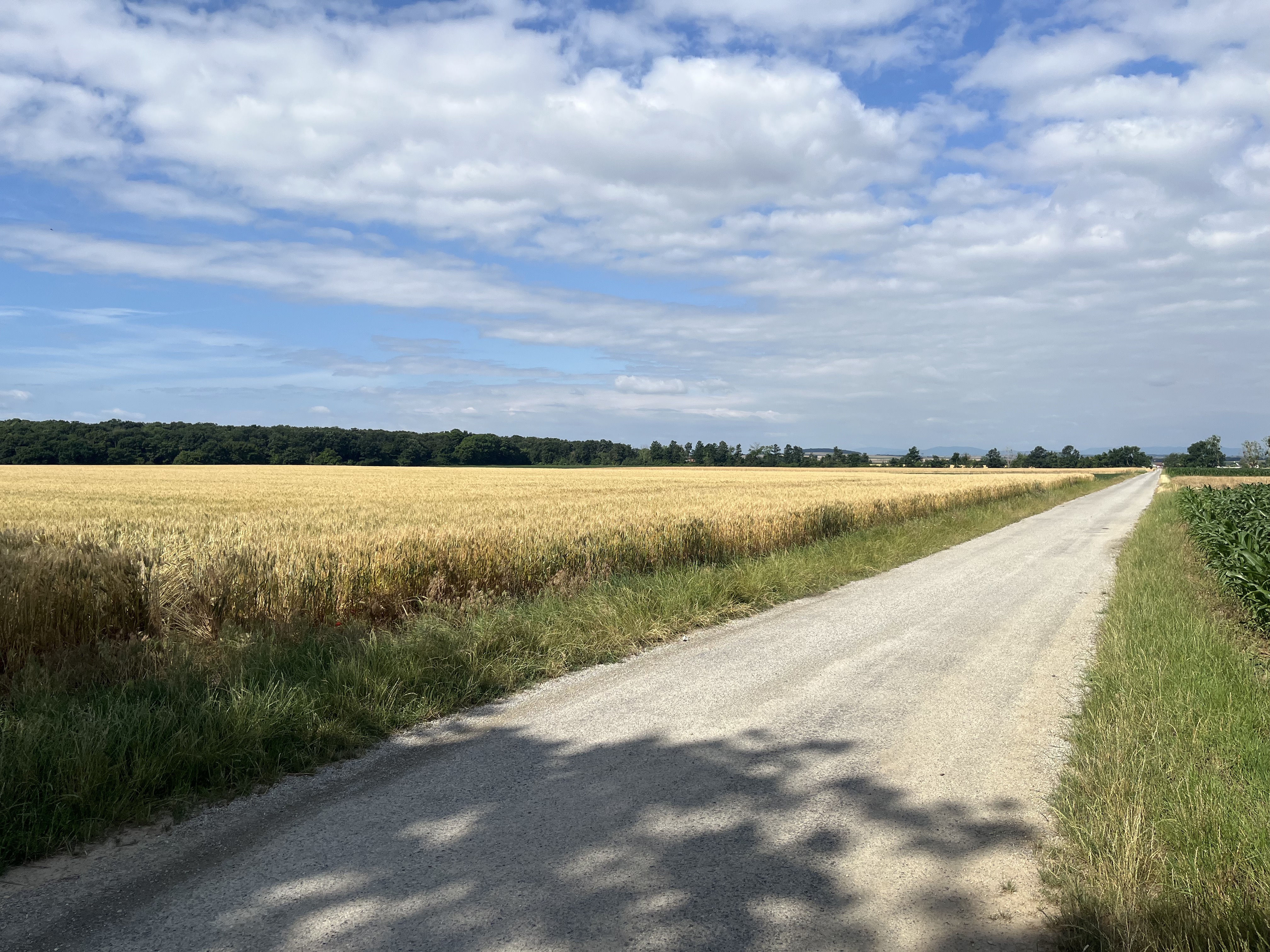
About this route
70 km Eurovelo - MarchfeldKanal - Napoleon - Asparagus
- -:--
- Duration
- 72.8 km
- Distance
- 58 m
- Ascent
- 58 m
- Descent
- ---
- Avg. speed
- ---
- Max. altitude

Route quality
Waytypes & surfaces along the route
Waytypes
Track
26.2 km
(36 %)
Cycleway
16.8 km
(23 %)
Surfaces
Paved
45.9 km
(63 %)
Unpaved
21.1 km
(29 %)
Asphalt
45.9 km
(63 %)
Gravel
14.6 km
(20 %)
Continue with Bikemap
Use, edit, or download this cycling route
You would like to ride Orth-Wien-DWagram-Orth or customize it for your own trip? Here is what you can do with this Bikemap route:
Free features
- Save this route as favorite or in collections
- Copy & plan your own version of this route
- Sync your route with Garmin or Wahoo
Premium features
Free trial for 3 days, or one-time payment. More about Bikemap Premium.
- Navigate this route on iOS & Android
- Export a GPX / KML file of this route
- Create your custom printout (try it for free)
- Download this route for offline navigation
Discover more Premium features.
Get Bikemap PremiumFrom our community
Other popular routes starting in Orth an der Donau
 Haslau-Maria Ellend to Lambrechtgasse, Vienna
- Distance
- 43 km
- Ascent
- 223 m
- Descent
- 192 m
- Location
- Orth an der Donau, Lower Austria, Austria
 Schloss Orth nach Schloss Eckartsau
- Distance
- 17.5 km
- Ascent
- 52 m
- Descent
- 53 m
- Location
- Orth an der Donau, Lower Austria, Austria
 Orth 1
- Distance
- 64.7 km
- Ascent
- 335 m
- Descent
- 338 m
- Location
- Orth an der Donau, Lower Austria, Austria
 Wien -> Orths Donau
- Distance
- 35.8 km
- Ascent
- 105 m
- Descent
- 57 m
- Location
- Orth an der Donau, Lower Austria, Austria
 Lange Radrunde vom 27.05.17, 17:33
- Distance
- 42.7 km
- Ascent
- 90 m
- Descent
- 93 m
- Location
- Orth an der Donau, Lower Austria, Austria
 Moderate Route in Leopoldsdorf im Marchfelde nach Orth
- Distance
- 9.9 km
- Ascent
- 21 m
- Descent
- 0 m
- Location
- Orth an der Donau, Lower Austria, Austria
 Jägergrund, Orth an der Donau nach Fasanweg, Groß-Enzersdorf
- Distance
- 23.1 km
- Ascent
- 99 m
- Descent
- 93 m
- Location
- Orth an der Donau, Lower Austria, Austria
 From Haslau-Maria Ellend to Klosterneuburg
- Distance
- 53 km
- Ascent
- 324 m
- Descent
- 335 m
- Location
- Orth an der Donau, Lower Austria, Austria
Open it in the app