pachacamac
A cycling route starting in Cieneguilla, Lima region, Peru.
Overview
About this route
- 99 h 27 min
- Duration
- 27 km
- Distance
- 515 m
- Ascent
- 583 m
- Descent
- 0.3 km/h
- Avg. speed
- ---
- Max. altitude
Route quality
Waytypes & surfaces along the route
Waytypes
Quiet road
14.6 km
(54 %)
Road
8.9 km
(33 %)
Surfaces
Paved
1.3 km
(5 %)
Unpaved
23.8 km
(88 %)
Ground
17 km
(63 %)
Unpaved (undefined)
5.7 km
(21 %)
Route highlights
Points of interest along the route
Point of interest after 27 km
casa
Continue with Bikemap
Use, edit, or download this cycling route
You would like to ride pachacamac or customize it for your own trip? Here is what you can do with this Bikemap route:
Free features
- Save this route as favorite or in collections
- Copy & plan your own version of this route
- Sync your route with Garmin or Wahoo
Premium features
Free trial for 3 days, or one-time payment. More about Bikemap Premium.
- Navigate this route on iOS & Android
- Export a GPX / KML file of this route
- Create your custom printout (try it for free)
- Download this route for offline navigation
Discover more Premium features.
Get Bikemap PremiumFrom our community
Other popular routes starting in Cieneguilla
- -12.104° N -76.862° W a Calle 31,
- Distance
- 17.4 km
- Ascent
- 103 m
- Descent
- 284 m
- Location
- Cieneguilla, Lima region, Peru
- rally pachacamac reconocimiento, lost
- Distance
- 17.2 km
- Ascent
- 210 m
- Descent
- 232 m
- Location
- Cieneguilla, Lima region, Peru
- -12.104° N -76.862° W a Calle 31,
- Distance
- 17.5 km
- Ascent
- 88 m
- Descent
- 278 m
- Location
- Cieneguilla, Lima region, Peru
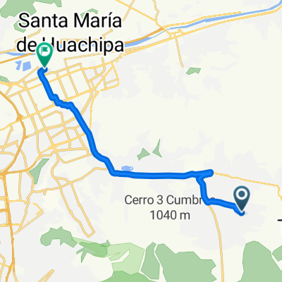
- Ruta constante en Pachacamac
- Distance
- 21.9 km
- Ascent
- 715 m
- Descent
- 732 m
- Location
- Cieneguilla, Lima region, Peru
- ride from 30 de agosto 8:05 a.m.
- Distance
- 13.5 km
- Ascent
- 600 m
- Descent
- 77 m
- Location
- Cieneguilla, Lima region, Peru
- Spred Out Sábado Course In
- Distance
- 14.8 km
- Ascent
- 445 m
- Descent
- 449 m
- Location
- Cieneguilla, Lima region, Peru
- Moderate Sábado Ride In
- Distance
- 11.2 km
- Ascent
- 164 m
- Descent
- 166 m
- Location
- Cieneguilla, Lima region, Peru
- De Unnamed Road, Cieneguilla a Avenida Mariscal Agustin , Callao
- Distance
- 56 km
- Ascent
- 477 m
- Descent
- 989 m
- Location
- Cieneguilla, Lima region, Peru
Open it in the app