Monte Ombraro-Zocca-Monte Ombraro
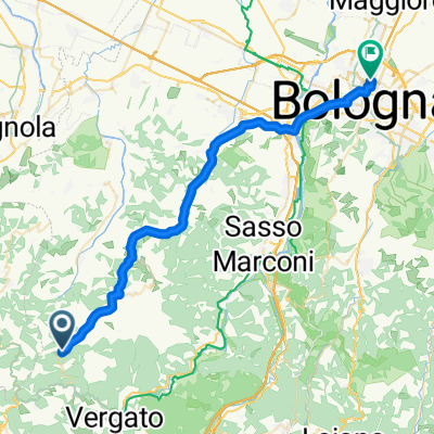
A cycling route starting in Zocca, Emilia-Romagna, Italy.
Overview
About this route
Loop in a clockwise direction with 6 gravel segments
- -:--
- Duration
- 15.5 km
- Distance
- 547 m
- Ascent
- 549 m
- Descent
- ---
- Avg. speed
- ---
- Max. altitude
Route quality
Waytypes & surfaces along the route
Waytypes
Quiet road
6.7 km
(43 %)
Path
3.7 km
(24 %)
Surfaces
Paved
2.3 km
(15 %)
Unpaved
4.7 km
(30 %)
Ground
3.3 km
(21 %)
Asphalt
2.3 km
(15 %)
Continue with Bikemap
Use, edit, or download this cycling route
You would like to ride Monte Ombraro-Zocca-Monte Ombraro or customize it for your own trip? Here is what you can do with this Bikemap route:
Free features
- Save this route as favorite or in collections
- Copy & plan your own version of this route
- Sync your route with Garmin or Wahoo
Premium features
Free trial for 3 days, or one-time payment. More about Bikemap Premium.
- Navigate this route on iOS & Android
- Export a GPX / KML file of this route
- Create your custom printout (try it for free)
- Download this route for offline navigation
Discover more Premium features.
Get Bikemap PremiumFrom our community
Other popular routes starting in Zocca
Zocca-Bologna- Distance
- 51.5 km
- Ascent
- 442 m
- Descent
- 1,118 m
- Location
- Zocca, Emilia-Romagna, Italy
Zocca- Pian Cavallaro- Distance
- 99.6 km
- Ascent
- 2,387 m
- Descent
- 2,293 m
- Location
- Zocca, Emilia-Romagna, Italy
Zocca - Modena - 13- Distance
- 42.5 km
- Ascent
- 470 m
- Descent
- 1,118 m
- Location
- Zocca, Emilia-Romagna, Italy
Monte Ombraro-Sasso di Sant'Andrea-Monte Ombraro- Distance
- 16.4 km
- Ascent
- 377 m
- Descent
- 372 m
- Location
- Zocca, Emilia-Romagna, Italy
Montecorone da attaccare- Distance
- 18.4 km
- Ascent
- 453 m
- Descent
- 452 m
- Location
- Zocca, Emilia-Romagna, Italy
Through the Apennines- Distance
- 94.7 km
- Ascent
- 1,080 m
- Descent
- 1,462 m
- Location
- Zocca, Emilia-Romagna, Italy
Rome, Etappe 11, Zocca - San Donnino- Distance
- 175.9 km
- Ascent
- 1,433 m
- Descent
- 2,006 m
- Location
- Zocca, Emilia-Romagna, Italy
First afterjanuaryarthroscopy lightride- Distance
- 9.5 km
- Ascent
- 120 m
- Descent
- 533 m
- Location
- Zocca, Emilia-Romagna, Italy
Open it in the app

