SM nach Pappenheim
- 296.7 km
- 1,957 m
- 1,846 m
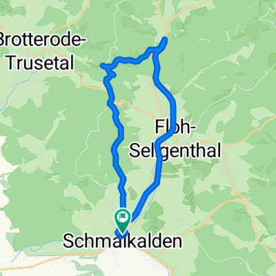
- Schmalkalden, Thuringia, Germany
A cycling route starting in Schmalkalden, Thuringia, Germany.
Overview
VIa Mommelstein-, Rennsteig-, Tannhäuser-, Werratal-RW
created this 8 years ago
Route quality
Track
34 km
44 %
Quiet road
10.8 km
14 %
Paved
37.1 km
(48 %)
Unpaved
28.6 km
(37 %)
Asphalt
35.5 km
46 %
Gravel
23.2 km
30 %
Continue with Bikemap
You would like to ride 2017-09-02: Schmalkalden - Floh-Seligental - Brotterode - Inselsberg - Immelborn - Breitungen or customize it for your own trip? Here is what you can do with this Bikemap route:
Free trial for 3 days, or one-time payment. More about Bikemap Premium.
Discover more Premium features.
Get Bikemap PremiumFrom our community
Open it in the app