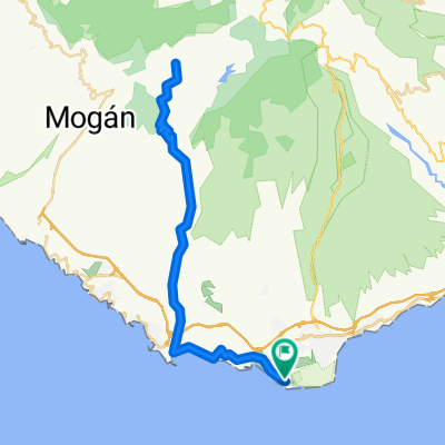
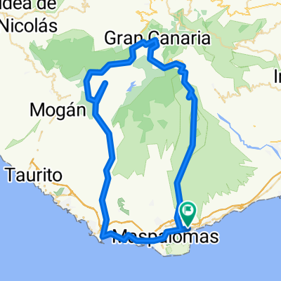
- 101.2 km
- 2,507 m
- 2,504 m
- Playa del Ingles, Canary Islands, Spain
Auf das Dach der Insel
A cycling route starting in Playa del Ingles, Canary Islands, Spain.
Overview
About this route
Those who are not afraid of the mountains (there is a total of 3000 m of elevation gain) will be rewarded with great views. The asphalt is consistently good except for the last few meters on the detour to the summit (antenna installation). A lunch break is worth it, for example in Tejeda. The descent from the summit takes less than 1 hour, as nearly 50 km is all downhill.
- -:--
- Duration
- 113 km
- Distance
- 5,680 m
- Ascent
- 5,564 m
- Descent
- ---
- Avg. speed
- 1,945 m
- Max. altitude
created this 15 years ago
Route quality
Waytypes & surfaces along the route
Waytypes
Road
12.4 km
(11 %)
Quiet road
2.3 km
(2 %)
Surfaces
Paved
110.8 km
(98 %)
Asphalt
110.8 km
(98 %)
Undefined
2.3 km
(2 %)
Continue with Bikemap
Use, edit, or download this cycling route
You would like to ride Auf das Dach der Insel or customize it for your own trip? Here is what you can do with this Bikemap route:
Free features
- Save this route as favorite or in collections
- Copy & plan your own version of this route
- Split it into stages to create a multi-day tour
- Sync your route with Garmin or Wahoo
Premium features
Free trial for 3 days, or one-time payment. More about Bikemap Premium.
- Navigate this route on iOS & Android
- Export a GPX / KML file of this route
- Create your custom printout (try it for free)
- Download this route for offline navigation
Discover more Premium features.
Get Bikemap PremiumFrom our community
Other popular routes starting in Playa del Ingles
- Pico East
- Gran Canaria06
- 65.6 km
- 1,176 m
- 1,176 m
- Playa del Ingles, Canary Islands, Spain
- FM Tour 86 (205): Soria valley
- 67.5 km
- 2,665 m
- 2,664 m
- Playa del Ingles, Canary Islands, Spain
- Gran-Canaria02
- 94.7 km
- 1,534 m
- 1,534 m
- Playa del Ingles, Canary Islands, Spain
- Calle las Margaritas, San Bartolomé de Tirajana nach Artenara, San Bartolomé de Tirajana
- 17.7 km
- 527 m
- 228 m
- Playa del Ingles, Canary Islands, Spain
- GC - Tejeda - Tal der Tränen - Mogan
- 146.5 km
- 2,477 m
- 2,477 m
- Playa del Ingles, Canary Islands, Spain
- Gran Canaria03
- 91.2 km
- 1,474 m
- 1,474 m
- Playa del Ingles, Canary Islands, Spain
- San Bartholome-Santa Lucia-El Doctoral
- 68.8 km
- 1,139 m
- 1,136 m
- Playa del Ingles, Canary Islands, Spain
Open it in the app


