

Mae Wang - San Pa Tong - Doi Lo on country roads cycling loop
A cycling route starting in Mae Wang, Chiang Mai Province, Thailand.
Overview
About this route
For an enjoyable cycling ride and easy exercise on any kind of bicycle; Touring, MTB or Tandem. The visit of spectacular Northern Thai Temples and also The Ganesha Himal Museum at Doi Lo.
For more info on our cycling activities please visit:
cycling.swissticino.com
- -:--
- Duration
- 51.1 km
- Distance
- 61 m
- Ascent
- 61 m
- Descent
- ---
- Avg. speed
- ---
- Avg. speed
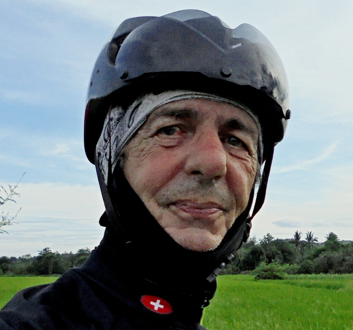
Route photos


Route quality
Waytypes & surfaces along the route
Waytypes
Quiet road
31.6 km
(62 %)
Road
18.4 km
(36 %)
Surfaces
Paved
30.6 km
(60 %)
Unpaved
5 km
(10 %)
Asphalt
17.7 km
(35 %)
Paved (undefined)
12.3 km
(24 %)
Route highlights
Points of interest along the route

Photo after 13.8 km

Photo after 14.5 km

Photo after 18.7 km

Point of interest after 19.5 km
The lost City of Wiang Tha Kan

Point of interest after 19.7 km
Wat Tha Kan

Point of interest after 20.7 km
Wat Sam Lang

Point of interest after 23.3 km
Wat Rong Wua

Photo after 23.4 km

Photo after 36.5 km

Point of interest after 38.2 km
Ganesha Himal Museum

Photo after 44.9 km
Crossing villages

Photo after 48.6 km
Enjoyable ride on country side roads.
Continue with Bikemap
Use, edit, or download this cycling route
You would like to ride Mae Wang - San Pa Tong - Doi Lo on country roads cycling loop or customize it for your own trip? Here is what you can do with this Bikemap route:
Free features
- Save this route as favorite or in collections
- Copy & plan your own version of this route
- Sync your route with Garmin or Wahoo
Premium features
Free trial for 3 days, or one-time payment. More about Bikemap Premium.
- Navigate this route on iOS & Android
- Export a GPX / KML file of this route
- Create your custom printout (try it for free)
- Download this route for offline navigation
Discover more Premium features.
Get Bikemap PremiumFrom our community
Other popular routes starting in Mae Wang
 Mae Wamg - Hang Dong loop
- Distance
- 77.7 km
- Ascent
- 170 m
- Descent
- 169 m
- Location
- Mae Wang, Chiang Mai Province, Thailand
 Tour 6 - Chiang Mai - Lamphun loop
- Distance
- 75.4 km
- Ascent
- 82 m
- Descent
- 82 m
- Location
- Mae Wang, Chiang Mai Province, Thailand
 Touring - Chiang Mai - Lamphun loop
- Distance
- 133.9 km
- Ascent
- 180 m
- Descent
- 180 m
- Location
- Mae Wang, Chiang Mai Province, Thailand
 Tour 2 - Huai Manao - Wat Nam Bo Tib - Phra Phikkhanet
- Distance
- 46.4 km
- Ascent
- 153 m
- Descent
- 149 m
- Location
- Mae Wang, Chiang Mai Province, Thailand
 Mae Wang - Baan Tawai Handicraft center loop
- Distance
- 66.1 km
- Ascent
- 99 m
- Descent
- 99 m
- Location
- Mae Wang, Chiang Mai Province, Thailand
 Tour 4 - Mae Win - Khun Wang Royal Project - (Doi Inthanon)
- Distance
- 92.4 km
- Ascent
- 1,735 m
- Descent
- 1,728 m
- Location
- Mae Wang, Chiang Mai Province, Thailand
 Cycling enjoying Mae Wang / Chiang Mai area
- Distance
- 34 km
- Ascent
- 251 m
- Descent
- 250 m
- Location
- Mae Wang, Chiang Mai Province, Thailand
 Cycling enjoying Mae Wang and San Pa Tong area
- Distance
- 55.6 km
- Ascent
- 152 m
- Descent
- 154 m
- Location
- Mae Wang, Chiang Mai Province, Thailand
Open it in the app