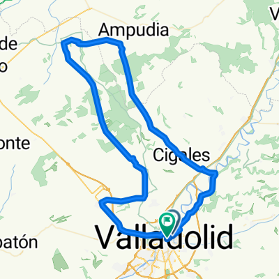
Circuito: (Casasola Valladolid)
- 14.2 km
- 47 m
- 46 m
- Valladolid, Castille and León, Spain
A cycling route starting in Valladolid, Castille and León, Spain.
Overview
Ronda-Ctra. Arca Real - Pte.Duero -Valdestillas-La Pedraja-Aldeamayor-(Tudela-exteri)-Villabañez-(direction Olivares)-Villavaquerin -Villabañez-Renedo -Valladolid.
1st climb: Páramo Rozas del Duero
Average gradient 3.40 %
Distance 3.6 km.
2nd climb: Canteras (2)
Average gradient 4.2 %
Distance 2.6 km.
created this 8 years ago
Route quality
Road
66.4 km
(70 %)
Cycleway
10.4 km
(11 %)
Paved
85.3 km
(90 %)
Unpaved
0.9 km
(1 %)
Asphalt
84.4 km
(89 %)
Concrete
0.9 km
(1 %)
Route highlights
Subida: Páramo Rozas del Duero Pendiente media 3,40% - Distancia 3,6 Km.
Subida: Canteras (2) Pendiente media 4,2 % Distancia 2,6 Km.
Continue with Bikemap
You would like to ride 2020 Ruta 40 or customize it for your own trip? Here is what you can do with this Bikemap route:
Free trial for 3 days, or one-time payment. More about Bikemap Premium.
Discover more Premium features.
Get Bikemap PremiumFrom our community
Open it in the app