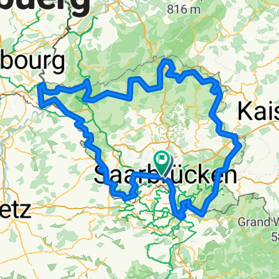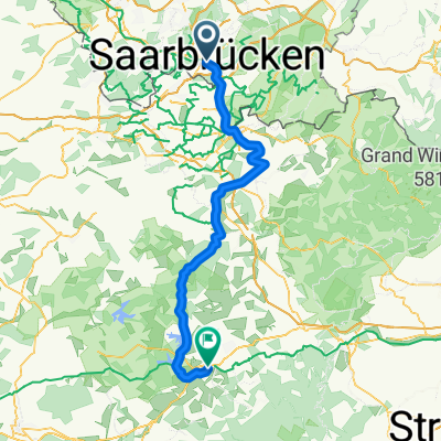
Bikepacking auf der VeloRoute SaarLorLux
- 465.8 km
- 4,760 m
- 4,765 m
- Saarbrücken, Saarland, Germany
A cycling route starting in Saarbrücken, Saarland, Germany.
Overview
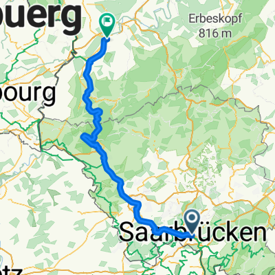
Wanderung mit Anneliese am 1. November 2017
created this 8 years ago
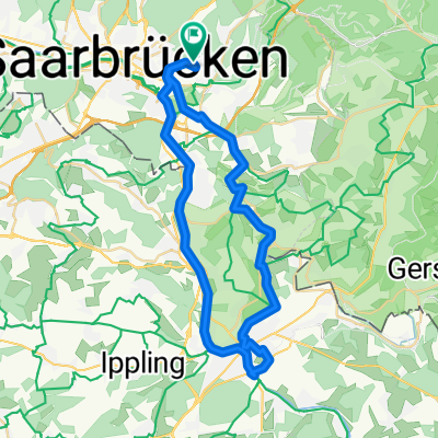
Route quality
Track
5.9 km
(74 %)
Path
1.3 km
(16 %)
Paved
3.7 km
(47 %)
Unpaved
3.8 km
(48 %)
Asphalt
3.7 km
(47 %)
Ground
2.5 km
(31 %)
Continue with Bikemap
You would like to ride Spicheren-Tälchen or customize it for your own trip? Here is what you can do with this Bikemap route:
Free trial for 3 days, or one-time payment. More about Bikemap Premium.
Discover more Premium features.
Get Bikemap PremiumFrom our community
Open it in the app