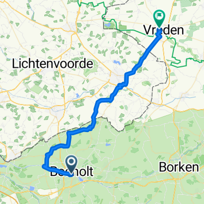
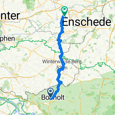
29 Bocholt Winterswijk Oeding Bocholt
A cycling route starting in Bocholt, North Rhine-Westphalia, Germany.
Overview
About this route
Anreise mit der DB bis Bocholt, weiter Richtung Winterswijk, über die Alte Eisenbahntrasse bis Barlo, über Feldwege zur Grenze, gerade aus wieder über die "Olde Bocholter Bahn" bis nach Winterswijk.
Zurück entlang der N 319 bis zur Genze bei Oeding, links ab über Feldwege und Landstrassen bis Barlo dann nach Bocholt zurück.
- -:--
- Duration
- 58.6 km
- Distance
- 90 m
- Ascent
- 86 m
- Descent
- ---
- Avg. speed
- 55 m
- Avg. speed
Route quality
Waytypes & surfaces along the route
Waytypes
Path
30.5 km
(52 %)
Quiet road
13 km
(22 %)
Surfaces
Paved
36.6 km
(62 %)
Unpaved
5.1 km
(9 %)
Asphalt
27.6 km
(47 %)
Paved (undefined)
5 km
(9 %)
Route highlights
Points of interest along the route
Photo after 16.4 km
Rastplatz mit Selfbedienig
Photo after 21.1 km
Fußgängerzone in Winterswijk
Photo after 21.2 km
Marktplatz in Winterswijk
Photo after 32.4 km
Schmaler Feldweg
Continue with Bikemap
Use, edit, or download this cycling route
You would like to ride 29 Bocholt Winterswijk Oeding Bocholt or customize it for your own trip? Here is what you can do with this Bikemap route:
Free features
- Save this route as favorite or in collections
- Copy & plan your own version of this route
- Sync your route with Garmin or Wahoo
Premium features
Free trial for 3 days, or one-time payment. More about Bikemap Premium.
- Navigate this route on iOS & Android
- Export a GPX / KML file of this route
- Create your custom printout (try it for free)
- Download this route for offline navigation
Discover more Premium features.
Get Bikemap PremiumFrom our community
Other popular routes starting in Bocholt
- Alles "Käse" 2
- Distance
- 30.2 km
- Ascent
- 48 m
- Descent
- 46 m
- Location
- Bocholt, North Rhine-Westphalia, Germany
- MAV-Fahrradtour Mai 2011
- Distance
- 22.8 km
- Ascent
- 77 m
- Descent
- 77 m
- Location
- Bocholt, North Rhine-Westphalia, Germany
- Dag4TRGMJ2018
- Distance
- 161.3 km
- Ascent
- 128 m
- Descent
- 103 m
- Location
- Bocholt, North Rhine-Westphalia, Germany
- mostour
- Distance
- 36.3 km
- Ascent
- 78 m
- Descent
- 76 m
- Location
- Bocholt, North Rhine-Westphalia, Germany
- Stadtwald -Dingdener Heide- Aa See
- Distance
- 25.6 km
- Ascent
- 60 m
- Descent
- 60 m
- Location
- Bocholt, North Rhine-Westphalia, Germany
- Brünen Spielplatz an der Feuerwehr, Schloss Ringenberg und Dingdener Heide
- Distance
- 27.4 km
- Ascent
- 97 m
- Descent
- 94 m
- Location
- Bocholt, North Rhine-Westphalia, Germany
- D7Bocholtrunde
- Distance
- 121.3 km
- Ascent
- 191 m
- Descent
- 189 m
- Location
- Bocholt, North Rhine-Westphalia, Germany
- Bocholt und Rhede
- Distance
- 20.7 km
- Ascent
- 69 m
- Descent
- 72 m
- Location
- Bocholt, North Rhine-Westphalia, Germany
Open it in the app