

Notre parcours en Macédoine
A cycling route starting in Blagoevgrad, Blagoevgrad, Bulgaria.
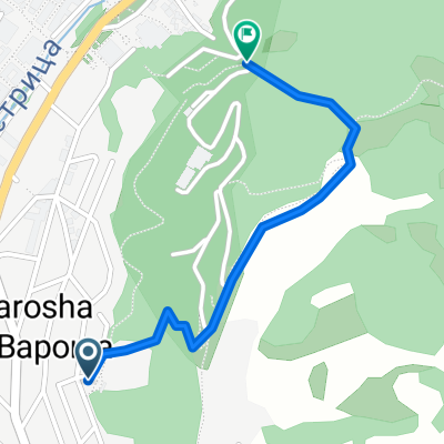
Overview
About this route
From Blagoevgrad, in Bulgaria, to Ohrid in the west of Macedonia, passing through Chtip, Veles, Prilep, and Bitola.
- -:--
- Duration
- 392.5 km
- Distance
- 3,215 m
- Ascent
- 2,575 m
- Descent
- ---
- Avg. speed
- ---
- Max. altitude

Route quality
Waytypes & surfaces along the route
Waytypes
Track
66.7 km
(17 %)
Road
62.8 km
(16 %)
Surfaces
Paved
172.7 km
(44 %)
Unpaved
19.6 km
(5 %)
Asphalt
109.9 km
(28 %)
Paved (undefined)
62.8 km
(16 %)
Continue with Bikemap
Use, edit, or download this cycling route
You would like to ride Notre parcours en Macédoine or customize it for your own trip? Here is what you can do with this Bikemap route:
Free features
- Save this route as favorite or in collections
- Copy & plan your own version of this route
- Split it into stages to create a multi-day tour
- Sync your route with Garmin or Wahoo
Premium features
Free trial for 3 days, or one-time payment. More about Bikemap Premium.
- Navigate this route on iOS & Android
- Export a GPX / KML file of this route
- Create your custom printout (try it for free)
- Download this route for offline navigation
Discover more Premium features.
Get Bikemap PremiumFrom our community
Other popular routes starting in Blagoevgrad
 Shortcut to/and the extreme downhill path
- Distance
- 1.1 km
- Ascent
- 85 m
- Descent
- 75 m
- Location
- Blagoevgrad, Blagoevgrad, Bulgaria
 Nice route to the near villas and back to Blago
- Distance
- 9.4 km
- Ascent
- 243 m
- Descent
- 213 m
- Location
- Blagoevgrad, Blagoevgrad, Bulgaria
 Blagoevgrad - Pehchevo
- Distance
- 62.3 km
- Ascent
- 1,386 m
- Descent
- 731 m
- Location
- Blagoevgrad, Blagoevgrad, Bulgaria
 Steep route to the almond forest
- Distance
- 0.7 km
- Ascent
- 50 m
- Descent
- 29 m
- Location
- Blagoevgrad, Blagoevgrad, Bulgaria
 Scenic Route to Elenovo and back to Skapto
- Distance
- 8.8 km
- Ascent
- 283 m
- Descent
- 303 m
- Location
- Blagoevgrad, Blagoevgrad, Bulgaria
 Razhodka okolo Blagoevgrad
- Distance
- 20.7 km
- Ascent
- 424 m
- Descent
- 515 m
- Location
- Blagoevgrad, Blagoevgrad, Bulgaria
 Near the river (right side) to the lake
- Distance
- 2 km
- Ascent
- 70 m
- Descent
- 26 m
- Location
- Blagoevgrad, Blagoevgrad, Bulgaria
 Dead end path with view on Bachinovo
- Distance
- 1.1 km
- Ascent
- 100 m
- Descent
- 57 m
- Location
- Blagoevgrad, Blagoevgrad, Bulgaria
Open it in the app