

Jenbach-Kramsach-LudwigAschenbrennerhütte-retour
A cycling route starting in Jenbach, Tyrol, Austria.
Overview
About this route
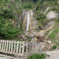
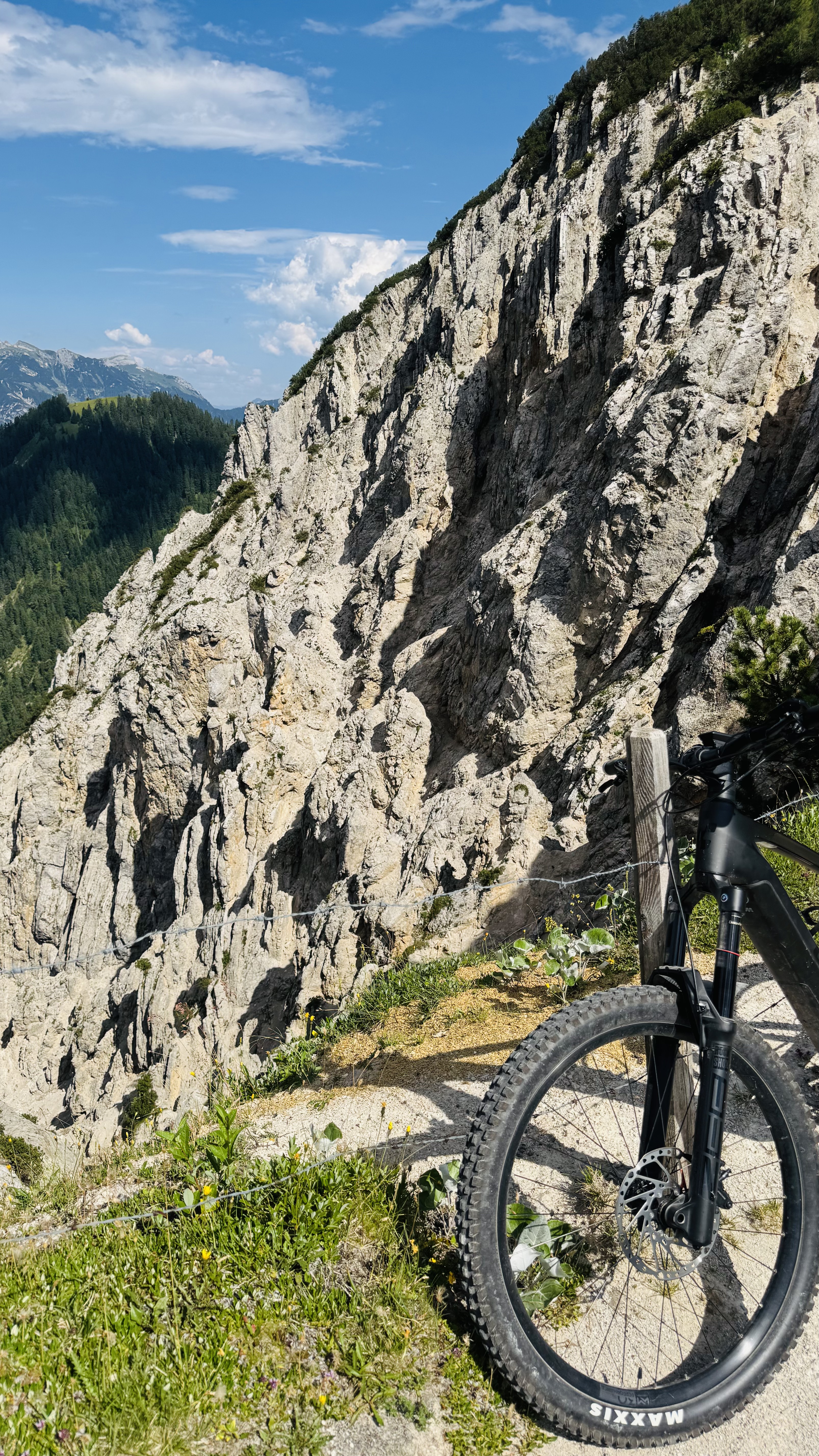
The route leads from Jenbach through Kramsach, towards Kaiserhaus and then left to the Ludwig Aschenbrenner hut, where one should take a break for refreshments, then down along the stream to Steinberg and through Achenkirch, back along the Achensee to Jenbach beautiful route
- -:--
- Duration
- 75 km
- Distance
- 1,295 m
- Ascent
- 1,301 m
- Descent
- ---
- Avg. speed
- ---
- Max. altitude
Continue with Bikemap
Use, edit, or download this cycling route
You would like to ride Jenbach-Kramsach-LudwigAschenbrennerhütte-retour or customize it for your own trip? Here is what you can do with this Bikemap route:
Free features
- Save this route as favorite or in collections
- Copy & plan your own version of this route
- Sync your route with Garmin or Wahoo
Premium features
Free trial for 3 days, or one-time payment. More about Bikemap Premium.
- Navigate this route on iOS & Android
- Export a GPX / KML file of this route
- Create your custom printout (try it for free)
- Download this route for offline navigation
Discover more Premium features.
Get Bikemap PremiumFrom our community
Other popular routes starting in Jenbach
 Achensee 1
- Distance
- 14 km
- Ascent
- 178 m
- Descent
- 175 m
- Location
- Jenbach, Tyrol, Austria
 7 Seenrunde
- Distance
- 148.8 km
- Ascent
- 2,391 m
- Descent
- 2,165 m
- Location
- Jenbach, Tyrol, Austria
 Jenbach-Feilkopf-Retour
- Distance
- 40.5 km
- Ascent
- 1,135 m
- Descent
- 1,135 m
- Location
- Jenbach, Tyrol, Austria
 Slow ride in Maurach
- Distance
- 25 km
- Ascent
- 846 m
- Descent
- 848 m
- Location
- Jenbach, Tyrol, Austria
 Maurach - Plumsjoch - De - Maurach
- Distance
- 84.9 km
- Ascent
- 1,115 m
- Descent
- 1,115 m
- Location
- Jenbach, Tyrol, Austria
 Planbergstraße, Eben am Achensee nach Lärchenwiesenstraße, Eben am Achensee
- Distance
- 30.1 km
- Ascent
- 1,127 m
- Descent
- 1,121 m
- Location
- Jenbach, Tyrol, Austria
 RT - achensee - tegernsee - sylvensteinstausee
- Distance
- 116.8 km
- Ascent
- 592 m
- Descent
- 592 m
- Location
- Jenbach, Tyrol, Austria
 Achensee 5(468) - Bärenbadalm1 21km - 750hm
- Distance
- 20 km
- Ascent
- 883 m
- Descent
- 886 m
- Location
- Jenbach, Tyrol, Austria
Open it in the app