

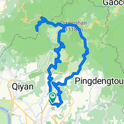
榮總-花鐘A路線
A cycling route starting in Taipei, Taipei, Taiwan.
Overview
About this route
- -:--
- Duration
- 7.3 km
- Distance
- 522 m
- Ascent
- 128 m
- Descent
- ---
- Avg. speed
- ---
- Max. altitude

Route quality
Waytypes & surfaces along the route
Waytypes
Road
5.8 km
(80 %)
Quiet road
1.1 km
(15 %)
Surfaces
Paved
3.3 km
(46 %)
Asphalt
3.3 km
(46 %)
Undefined
3.9 km
(54 %)
Continue with Bikemap
Use, edit, or download this cycling route
You would like to ride 榮總-花鐘A路線 or customize it for your own trip? Here is what you can do with this Bikemap route:
Free features
- Save this route as favorite or in collections
- Copy & plan your own version of this route
- Sync your route with Garmin or Wahoo
Premium features
Free trial for 3 days, or one-time payment. More about Bikemap Premium.
- Navigate this route on iOS & Android
- Export a GPX / KML file of this route
- Create your custom printout (try it for free)
- Download this route for offline navigation
Discover more Premium features.
Get Bikemap PremiumFrom our community
Other popular routes starting in Taipei
 P字道
P字道- Distance
- 76.1 km
- Ascent
- 2,461 m
- Descent
- 2,021 m
- Location
- Taipei, Taipei, Taiwan
 挑戰:新店_北宜_東北角_北濱_西濱 ... 254公里
- Distance
- 254 km
- Ascent
- 0 m
- Descent
- 0 m
- Location
- Taipei, Taipei, Taiwan
 巴拉卡公路
巴拉卡公路- Distance
- 37 km
- Ascent
- 1,114 m
- Descent
- 46 m
- Location
- Taipei, Taipei, Taiwan
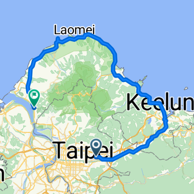 20081011 北海岸1
- Distance
- 80.8 km
- Ascent
- 392 m
- Descent
- 383 m
- Location
- Taipei, Taipei, Taiwan
 榮總-花鐘A路線
- Distance
- 7.3 km
- Ascent
- 522 m
- Descent
- 128 m
- Location
- Taipei, Taipei, Taiwan
 天母直上大屯山主峰
- Distance
- 36.4 km
- Ascent
- 1,168 m
- Descent
- 1,168 m
- Location
- Taipei, Taipei, Taiwan
 Sep.14,10-環大台北練習
- Distance
- 168.3 km
- Ascent
- 703 m
- Descent
- 703 m
- Location
- Taipei, Taipei, Taiwan
 990119劍中劍練跑路線
- Distance
- 18.6 km
- Ascent
- 730 m
- Descent
- 715 m
- Location
- Taipei, Taipei, Taiwan
Open it in the app