

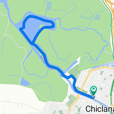
Chiclana-Medina-LormaHermanillas-Benalup-LosNaveros-Chiclana_145km
A cycling route starting in Chiclana de la Frontera, Andalusia, Spain.
Overview
About this route
If this is your only chance to visit Medina: do not pass the town and take the climb into the center!
- -:--
- Duration
- 145.6 km
- Distance
- 685 m
- Ascent
- 684 m
- Descent
- ---
- Avg. speed
- ---
- Max. altitude
Route quality
Waytypes & surfaces along the route
Waytypes
Road
80.1 km
(55 %)
Quiet road
32 km
(22 %)
Undefined
33.5 km
(23 %)
Surfaces
Paved
122.3 km
(84 %)
Asphalt
122.3 km
(84 %)
Undefined
23.3 km
(16 %)
Continue with Bikemap
Use, edit, or download this cycling route
You would like to ride Chiclana-Medina-LormaHermanillas-Benalup-LosNaveros-Chiclana_145km or customize it for your own trip? Here is what you can do with this Bikemap route:
Free features
- Save this route as favorite or in collections
- Copy & plan your own version of this route
- Split it into stages to create a multi-day tour
- Sync your route with Garmin or Wahoo
Premium features
Free trial for 3 days, or one-time payment. More about Bikemap Premium.
- Navigate this route on iOS & Android
- Export a GPX / KML file of this route
- Create your custom printout (try it for free)
- Download this route for offline navigation
Discover more Premium features.
Get Bikemap PremiumFrom our community
Other popular routes starting in Chiclana de la Frontera
 Salina Santa Maria de Jesús
- Distance
- 7.1 km
- Ascent
- 24 m
- Descent
- 24 m
- Location
- Chiclana de la Frontera, Andalusia, Spain
 Naveros
- Distance
- 33.8 km
- Ascent
- 365 m
- Descent
- 362 m
- Location
- Chiclana de la Frontera, Andalusia, Spain
 RELAX
RELAX- Distance
- 30.2 km
- Ascent
- 67 m
- Descent
- 33 m
- Location
- Chiclana de la Frontera, Andalusia, Spain
 E_NSP-Barbate-LosNaveros-NSP
- Distance
- 118.7 km
- Ascent
- 660 m
- Descent
- 657 m
- Location
- Chiclana de la Frontera, Andalusia, Spain
 Benalup * Stausee 116km
- Distance
- 116.4 km
- Ascent
- 600 m
- Descent
- 591 m
- Location
- Chiclana de la Frontera, Andalusia, Spain
 E-NovoSanctiPetri-Conil-Cano-ret
- Distance
- 71.5 km
- Ascent
- 372 m
- Descent
- 372 m
- Location
- Chiclana de la Frontera, Andalusia, Spain
 campano - los naveros - medina - chiclana
- Distance
- 59.8 km
- Ascent
- 435 m
- Descent
- 435 m
- Location
- Chiclana de la Frontera, Andalusia, Spain
 Andalusien '07: Königsetappe
- Distance
- 132.5 km
- Ascent
- 793 m
- Descent
- 792 m
- Location
- Chiclana de la Frontera, Andalusia, Spain
Open it in the app