


Stage 5 - Étoile de Bessèges 2014 - Alès-Alès
- 10.6 km
- 213 m
- 79 m
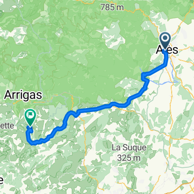
- Alès, Occitanie, France
A cycling route starting in Alès, Occitanie, France.
Overview
created this 8 years ago
Route quality
Road
59.3 km
(46 %)
Quiet road
37.4 km
(29 %)
Paved
34.8 km
(27 %)
Unpaved
1.3 km
(1 %)
Asphalt
34.8 km
(27 %)
Gravel
1.3 km
(1 %)
Undefined
92.8 km
(72 %)
Continue with Bikemap
You would like to ride Ales-Pont-du-Gard or customize it for your own trip? Here is what you can do with this Bikemap route:
Free trial for 3 days, or one-time payment. More about Bikemap Premium.
Discover more Premium features.
Get Bikemap PremiumFrom our community
Open it in the app


![[Itinéraire] Les Vallées du Gardon](https://media.bikemap.net/routes/17206807/staticmaps/in_36e77413-1a72-481e-8b5b-0e2ae2f40631_400x400_bikemap-2021-3D-static.png)
