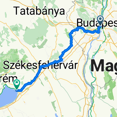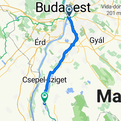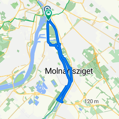
Csepel terv
- 25.9 km
- 69 m
- 72 m
- Budapest IX. kerület, Budapest, Hungary
A cycling route starting in Budapest IX. kerület, Budapest, Hungary.
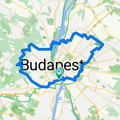
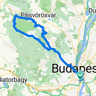
Overview
the entire tour route passes through bicycle paths and safe pedestrian paths.
Tur güzergahının tamamı bisiklet yolları ve güvenli yaya yollarından geçmektedir.
created this 8 years ago
Route highlights

Balna Budapest

Szabadsag Hid
Inner City Parish Church
Erzsebed Hid
Lancid Hid
Parliament
Olimpics Playground
Margit Hid
Szilágyi Dezső téri református templom
Clark Adam Ter
Zero Point of Budapest
Szent Gellert Structure
Citadella
Gellert Ter
Petöfi Hid
Continue with Bikemap
You would like to ride Touristic Duna Tour or customize it for your own trip? Here is what you can do with this Bikemap route:
Free trial for 3 days, or one-time payment. More about Bikemap Premium.
Discover more Premium features.
Get Bikemap PremiumFrom our community
Open it in the app