Bad Bocklet - Waldsassen
A cycling route starting in Bad Bocklet, Bavaria, Germany.
Overview
About this route
- -:--
- Duration
- 468.3 km
- Distance
- 1,568 m
- Ascent
- 1,573 m
- Descent
- ---
- Avg. speed
- ---
- Avg. speed
Route quality
Waytypes & surfaces along the route
Waytypes
Quiet road
118.9 km
(25 %)
Road
97.8 km
(21 %)
Surfaces
Paved
323.9 km
(69 %)
Unpaved
48.4 km
(10 %)
Asphalt
290.3 km
(62 %)
Gravel
34.8 km
(7 %)
Route highlights
Points of interest along the route
Point of interest after 32.3 km
Pause 1. Tag Papamobil
Accommodation after 74.1 km
Quartier 1. Nach Hildburghausen
Point of interest after 106.5 km
1. Pause 2. Tag
Point of interest after 135.7 km
Mittagspause 2. Tag
Point of interest after 154.2 km
3. Pause Papamobil
Accommodation after 172 km
Ankunft 2. Tag 102 km
Point of interest after 206.3 km
Pause Papamobil 3. Tag
Point of interest after 237 km
Ankunft Tag 3 52 km Kolpingstraße 9 Waldsassen
Point of interest after 269.3 km
Mittagspause mit Papamobil
Accommodation after 348 km
Königsfeld 4 Tag 77km
Point of interest after 372.5 km
Mittagspause
Point of interest after 396.8 km
Pause Papamobil
Accommodation after 410.6 km
Haßfurt 5 Tag 92 km
Point of interest after 439 km
1. Pause Schießhaus
Point of interest after 451 km
2. Pause Papamobil
Continue with Bikemap
Use, edit, or download this cycling route
You would like to ride Bad Bocklet - Waldsassen or customize it for your own trip? Here is what you can do with this Bikemap route:
Free features
- Save this route as favorite or in collections
- Copy & plan your own version of this route
- Sync your route with Garmin or Wahoo
Premium features
Free trial for 3 days, or one-time payment. More about Bikemap Premium.
- Navigate this route on iOS & Android
- Export a GPX / KML file of this route
- Create your custom printout (try it for free)
- Download this route for offline navigation
Discover more Premium features.
Get Bikemap PremiumFrom our community
Other popular routes starting in Bad Bocklet
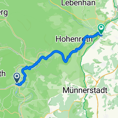
- Tag 1 2019 - Bad Bocklet/Gemünden
- Distance
- 64.2 km
- Ascent
- 214 m
- Descent
- 278 m
- Location
- Bad Bocklet, Bavaria, Germany
- Bad Bocklet - Waldsassen
- Distance
- 468.3 km
- Ascent
- 1,568 m
- Descent
- 1,573 m
- Location
- Bad Bocklet, Bavaria, Germany
- 1. Tag Bad Bocklet - Hildburghausen
- Distance
- 75.2 km
- Ascent
- 391 m
- Descent
- 230 m
- Location
- Bad Bocklet, Bavaria, Germany
- Rund um den Kreutzberg
- Distance
- 68.6 km
- Ascent
- 1,156 m
- Descent
- 1,147 m
- Location
- Bad Bocklet, Bavaria, Germany
- Dionysiusstraße 6, Bad Kissingen nach Dionysiusstraße 1, Bad Kissingen
- Distance
- 14.8 km
- Ascent
- 263 m
- Descent
- 263 m
- Location
- Bad Bocklet, Bavaria, Germany
- Aschach - Kreuzberg - Aschach
- Distance
- 55.3 km
- Ascent
- 959 m
- Descent
- 956 m
- Location
- Bad Bocklet, Bavaria, Germany
- 2019-02-17: Bad Bocklet - Münnerstadt
- Distance
- 43.5 km
- Ascent
- 282 m
- Descent
- 278 m
- Location
- Bad Bocklet, Bavaria, Germany
- Jakobsweg windheim - Saint Pied de port
- Distance
- 1,812.4 km
- Ascent
- 2,272 m
- Descent
- 2,459 m
- Location
- Bad Bocklet, Bavaria, Germany
Open it in the app