Heiligenstein - Vorderweidenthal - HInterweidenthal - Annweiler - Heiligenstein
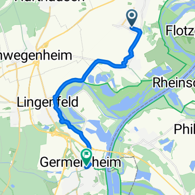
A cycling route starting in Dudenhofen, Rhineland-Palatinate, Germany.
Overview
About this route
Aus der Ebene in die Südpfalz und wieder zurück
- -:--
- Duration
- 132.2 km
- Distance
- 495 m
- Ascent
- 493 m
- Descent
- ---
- Avg. speed
- ---
- Max. altitude
Continue with Bikemap
Use, edit, or download this cycling route
You would like to ride Heiligenstein - Vorderweidenthal - HInterweidenthal - Annweiler - Heiligenstein or customize it for your own trip? Here is what you can do with this Bikemap route:
Free features
- Save this route as favorite or in collections
- Copy & plan your own version of this route
- Split it into stages to create a multi-day tour
- Sync your route with Garmin or Wahoo
Premium features
Free trial for 3 days, or one-time payment. More about Bikemap Premium.
- Navigate this route on iOS & Android
- Export a GPX / KML file of this route
- Create your custom printout (try it for free)
- Download this route for offline navigation
Discover more Premium features.
Get Bikemap PremiumFrom our community
Other popular routes starting in Dudenhofen
- Pfälzer Weinbergrunde
- Distance
- 64.1 km
- Ascent
- 257 m
- Descent
- 250 m
- Location
- Dudenhofen, Rhineland-Palatinate, Germany
- Germersheim
- Distance
- 50.8 km
- Ascent
- 167 m
- Descent
- 167 m
- Location
- Dudenhofen, Rhineland-Palatinate, Germany
- Federweiße-Tour - RTF des RV 1908 Dudenhofen e.V. - 76 km Strecke
- Distance
- 77.4 km
- Ascent
- 242 m
- Descent
- 241 m
- Location
- Dudenhofen, Rhineland-Palatinate, Germany
- Speyer-Blaue Adria-Mundenheim
- Distance
- 28.7 km
- Ascent
- 76 m
- Descent
- 84 m
- Location
- Dudenhofen, Rhineland-Palatinate, Germany
- Zur Kalmit
- Distance
- 37.1 km
- Ascent
- 580 m
- Descent
- 31 m
- Location
- Dudenhofen, Rhineland-Palatinate, Germany
- Vom Spargeldorf zur SAP
- Distance
- 22.9 km
- Ascent
- 38 m
- Descent
- 35 m
- Location
- Dudenhofen, Rhineland-Palatinate, Germany
- Landauer Straße, Dudenhofen naar Rue du Muhlbach, Erstein
- Distance
- 152.4 km
- Ascent
- 346 m
- Descent
- 304 m
- Location
- Dudenhofen, Rhineland-Palatinate, Germany
- Rund um Römerberg #01
- Distance
- 46.8 km
- Ascent
- 79 m
- Descent
- 79 m
- Location
- Dudenhofen, Rhineland-Palatinate, Germany
Open it in the app