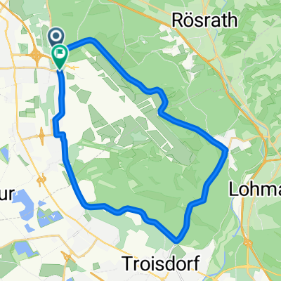
Wahnbachtalsperre ab Wahn (2)
- 52.2 km
- 463 m
- 462 m
- Eil, North Rhine-Westphalia, Germany
A cycling route starting in Eil, North Rhine-Westphalia, Germany.
Overview
Nice flat tour from Porz/Eil to PorzCity along the Rhine, over the highway bridge and through the Cologne districts of Rodenkirchen and Rondorf. From Rondorf, one rides through the Hürth industrial area and then through the Hürth suburbs of Hermülheim and Stotzheim. After leaving Stotzheim behind, turn right at the corner of Horbeller Str./Gleueler Str. and ride to Militärringstraße. At Militärringstraße, I turn right and ride the Cologne green belt on the 'Mili' up to Marienburg. I am now back at the Rhine. I keep to the left and ride along the Oberländer shore up to the South Bridge. (Railway bridge with cycle path) I cross the South Bridge and arrive on the right bank of the Rhine (also called 'schäl sick') in Cologne-Poll. From here, I ride to Cologne-Porz all the way along the Rhine. Then over Bergerstr. to the starting point Porz-Eil. Enjoy, wishes the hobby cyclist!
created this 15 years ago
Continue with Bikemap
You would like to ride Porz/Eil-Porz-Rondorf-Stotzheim-(Südstadt)-Poll-Porz-Porz/Eil or customize it for your own trip? Here is what you can do with this Bikemap route:
Free trial for 3 days, or one-time payment. More about Bikemap Premium.
Discover more Premium features.
Get Bikemap PremiumFrom our community
Open it in the app