

Overview
About this route
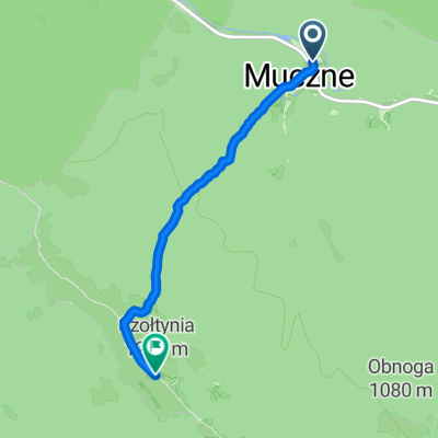
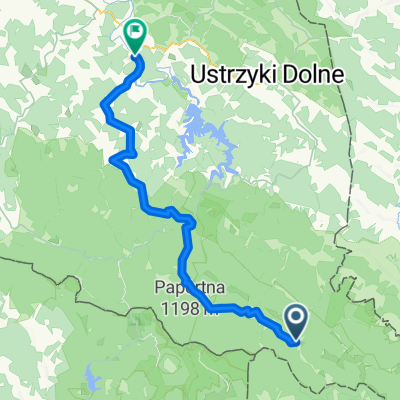
Chmiel - around Otryt - 'Wilcza Jama' (LUNCH) - Chmiel + Szepit waterfall on the Hylaty stream in Zatwarnica (12 km)
- -:--
- Duration
- 39.3 km
- Distance
- 540 m
- Ascent
- 539 m
- Descent
- ---
- Avg. speed
- ---
- Max. altitude
Part of
Bieszczady
10 stages
Route quality
Waytypes & surfaces along the route
Waytypes
Track
21.2 km
(54 %)
Road
10.6 km
(27 %)
Surfaces
Paved
20.8 km
(53 %)
Unpaved
10.2 km
(26 %)
Paved (undefined)
11.4 km
(29 %)
Gravel
10.2 km
(26 %)
Continue with Bikemap
Use, edit, or download this cycling route
You would like to ride Bieszczady4 or customize it for your own trip? Here is what you can do with this Bikemap route:
Free features
- Save this route as favorite or in collections
- Copy & plan your own version of this route
- Sync your route with Garmin or Wahoo
Premium features
Free trial for 3 days, or one-time payment. More about Bikemap Premium.
- Navigate this route on iOS & Android
- Export a GPX / KML file of this route
- Create your custom printout (try it for free)
- Download this route for offline navigation
Discover more Premium features.
Get Bikemap PremiumFrom our community
Other popular routes starting in Lutowiska
 2012 30 - Muczne - Bukowe Berdo
- Distance
- 3.8 km
- Ascent
- 480 m
- Descent
- 4 m
- Location
- Lutowiska, Subcarpathian Voivodeship, Poland
 Biesy - Dzien 3
- Distance
- 54 km
- Ascent
- 782 m
- Descent
- 805 m
- Location
- Lutowiska, Subcarpathian Voivodeship, Poland
 Bieszczady - wodospad
- Distance
- 11.3 km
- Ascent
- 130 m
- Descent
- 127 m
- Location
- Lutowiska, Subcarpathian Voivodeship, Poland
 Muczne - Sokoliki - Bacówka pod Małą Rawką
- Distance
- 57.5 km
- Ascent
- 1,253 m
- Descent
- 1,037 m
- Location
- Lutowiska, Subcarpathian Voivodeship, Poland
 Zatwarnica - wzdłuż Sanu - powrót
- Distance
- 19.6 km
- Ascent
- 299 m
- Descent
- 298 m
- Location
- Lutowiska, Subcarpathian Voivodeship, Poland
 Zatwarnica
- Distance
- 40.4 km
- Ascent
- 501 m
- Descent
- 501 m
- Location
- Lutowiska, Subcarpathian Voivodeship, Poland
 Otryt
Otryt- Distance
- 39.4 km
- Ascent
- 527 m
- Descent
- 527 m
- Location
- Lutowiska, Subcarpathian Voivodeship, Poland
 Od Ustrzyki Górne do Gmina Lesko
- Distance
- 71.6 km
- Ascent
- 1,387 m
- Descent
- 1,734 m
- Location
- Lutowiska, Subcarpathian Voivodeship, Poland
Open it in the app