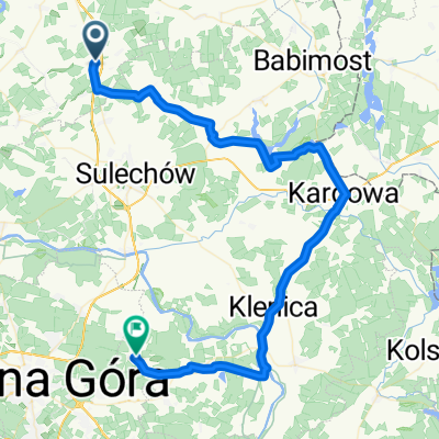
Niekarzyn 56a, Niekarzyn nach 278, Sulechów
- 21.7 km
- 1,074 m
- 1,100 m
- Skąpe, Lubusz Voivodship, Poland
Overview
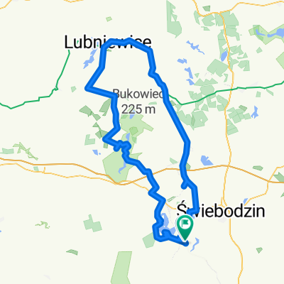
Rosin - Buków - Łęgowo - Klępsk (CHURCH) - Wojnowo (21 km BAR 'FISHERMAN'S HOUSE') - Kargowa - Przewóz (FERRY) - Proczki (vineyard) - Łaz - Przytok 'BARN'
created this 8 years ago
Part of
14 stages
Route quality
Road
17.8 km
(29 %)
Track
14.7 km
(24 %)
Paved
17.8 km
(29 %)
Unpaved
11.7 km
(19 %)
Asphalt
14.7 km
(24 %)
Gravel
6.7 km
(11 %)
Continue with Bikemap
You would like to ride Zielonogórskie5 or customize it for your own trip? Here is what you can do with this Bikemap route:
Free trial for 3 days, or one-time payment. More about Bikemap Premium.
Discover more Premium features.
Get Bikemap PremiumFrom our community
Open it in the app