

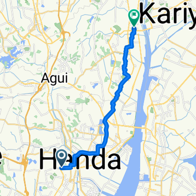
1_3_HANDA_GAMAGORI_38km_270m
A cycling route starting in Handa, Aichi, Japan.
Overview
About this route
- -:--
- Duration
- 37.2 km
- Distance
- 179 m
- Ascent
- 186 m
- Descent
- ---
- Avg. speed
- ---
- Max. altitude
Continue with Bikemap
Use, edit, or download this cycling route
You would like to ride 1_3_HANDA_GAMAGORI_38km_270m or customize it for your own trip? Here is what you can do with this Bikemap route:
Free features
- Save this route as favorite or in collections
- Copy & plan your own version of this route
- Sync your route with Garmin or Wahoo
Premium features
Free trial for 3 days, or one-time payment. More about Bikemap Premium.
- Navigate this route on iOS & Android
- Export a GPX / KML file of this route
- Create your custom printout (try it for free)
- Download this route for offline navigation
Discover more Premium features.
Get Bikemap PremiumFrom our community
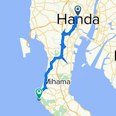
Other popular routes starting in Handa
 3丁目, 半田市 まで2, 四日市市
- Distance
- 81.8 km
- Ascent
- 237 m
- Descent
- 242 m
- Location
- Handa, Aichi, Japan
 Sumiyoshicho to Takahamaminato
- Distance
- 7.2 km
- Ascent
- 20 m
- Descent
- 17 m
- Location
- Handa, Aichi, Japan
 1-chōme, Handa to Asahi 10, Higashiura
- Distance
- 13.2 km
- Ascent
- 76 m
- Descent
- 83 m
- Location
- Handa, Aichi, Japan
 1_3_HANDA_GAMAGORI_38km_270m
- Distance
- 37.2 km
- Ascent
- 179 m
- Descent
- 186 m
- Location
- Handa, Aichi, Japan
 201-31, Hiiragicho 4-Chōme, Handa to Minamichita Road, Taketoyo, Chita-Gun
- Distance
- 8.7 km
- Ascent
- 213 m
- Descent
- 211 m
- Location
- Handa, Aichi, Japan
 Recovered Route
- Distance
- 26.1 km
- Ascent
- 186 m
- Descent
- 215 m
- Location
- Handa, Aichi, Japan
 De 1-chōme, Handa a 1-chōme, Handa
- Distance
- 1.4 km
- Ascent
- 3 m
- Descent
- 0 m
- Location
- Handa, Aichi, Japan
 De 5-chōme, Handa a 1-chōme, Handa
- Distance
- 32 km
- Ascent
- 186 m
- Descent
- 180 m
- Location
- Handa, Aichi, Japan
Open it in the app