Spanje dag 13
A cycling route starting in Millas, Occitanie, France.
Overview
About this route
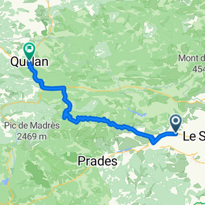
Van Néflach naar Lairiére (B&B Les Jourdets)
- -:--
- Duration
- 75.9 km
- Distance
- 1,008 m
- Ascent
- 817 m
- Descent
- ---
- Avg. speed
- ---
- Max. altitude
Route quality
Waytypes & surfaces along the route
Waytypes
Road
31.9 km
(42 %)
Quiet road
3 km
(4 %)
Surfaces
Paved
4.6 km
(6 %)
Unpaved
0.8 km
(1 %)
Asphalt
4.6 km
(6 %)
Unpaved (undefined)
0.8 km
(1 %)
Undefined
70.6 km
(93 %)
Continue with Bikemap
Use, edit, or download this cycling route
You would like to ride Spanje dag 13 or customize it for your own trip? Here is what you can do with this Bikemap route:
Free features
- Save this route as favorite or in collections
- Copy & plan your own version of this route
- Sync your route with Garmin or Wahoo
Premium features
Free trial for 3 days, or one-time payment. More about Bikemap Premium.
- Navigate this route on iOS & Android
- Export a GPX / KML file of this route
- Create your custom printout (try it for free)
- Download this route for offline navigation
Discover more Premium features.
Get Bikemap PremiumFrom our community
Other popular routes starting in Millas
FRA_Millas_Limoux- Distance
- 86 km
- Ascent
- 902 m
- Descent
- 832 m
- Location
- Millas, Occitanie, France
Millas Sournia Força Real Millas- Distance
- 69 km
- Ascent
- 1,039 m
- Descent
- 1,039 m
- Location
- Millas, Occitanie, France
De D38, Millas à Nord Route nationale 146, Corneilla-la-Rivière- Distance
- 19 km
- Ascent
- 640 m
- Descent
- 958 m
- Location
- Millas, Occitanie, France
De 23 Avenue du Général de Gaulle, Néfiach à 550 Avenue de Milan, Perpignan- Distance
- 17.6 km
- Ascent
- 252 m
- Descent
- 323 m
- Location
- Millas, Occitanie, France
10–16 Avenue du Général de Gaulle, Néfiach à 550 Avenue de Milan, Perpignan- Distance
- 17.1 km
- Ascent
- 146 m
- Descent
- 217 m
- Location
- Millas, Occitanie, France
Alternative 1.1- Distance
- 79.6 km
- Ascent
- 1,194 m
- Descent
- 968 m
- Location
- Millas, Occitanie, France
Spanje dag 13- Distance
- 75.9 km
- Ascent
- 1,008 m
- Descent
- 817 m
- Location
- Millas, Occitanie, France
De D612, Saint-Féliu-d'Amont à D612, Millas- Distance
- 4 km
- Ascent
- 26 m
- Descent
- 45 m
- Location
- Millas, Occitanie, France
Open it in the app


