Ruta17Ullastrell
- 67.7 km
- 628 m
- 637 m
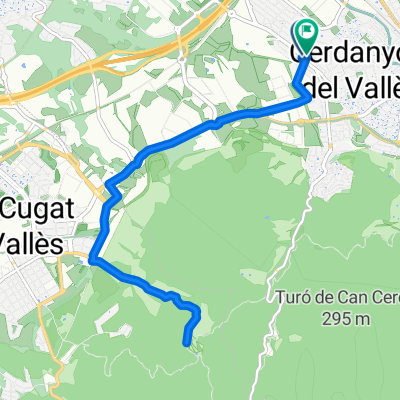
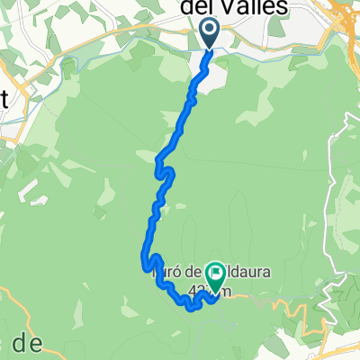
- Cerdanyola del Vallès, Catalonia, Spain
A cycling route starting in Cerdanyola del Vallès, Catalonia, Spain.
Overview
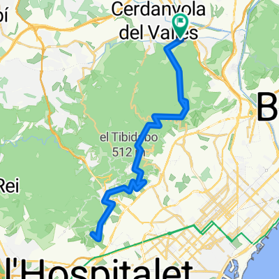
Route with no technical difficulty, which goes to seek the Crta de les Aigües passing previously through Sant Iscle, the Font Groga, the Crta de l’Arrabassada and downhill to seek the mentioned Crta de les Aigües. Once here, on a rolling but very busy track, be careful with the other users, we will reach Sant Pere Màrtir, with its climb that does not reach 1 km. After enjoying the views from the viewpoint, we will return by the same route.
created this 7 years ago
Route quality
Track
39.8 km
(89 %)
Access road
1.8 km
(4 %)
Paved
1.8 km
(4 %)
Unpaved
38.5 km
(86 %)
Gravel
28.6 km
(64 %)
Loose gravel
4.5 km
(10 %)
Continue with Bikemap
You would like to ride Ruta51 Sant Pere Martir i tornada or customize it for your own trip? Here is what you can do with this Bikemap route:
Free trial for 3 days, or one-time payment. More about Bikemap Premium.
Discover more Premium features.
Get Bikemap PremiumFrom our community
Open it in the app