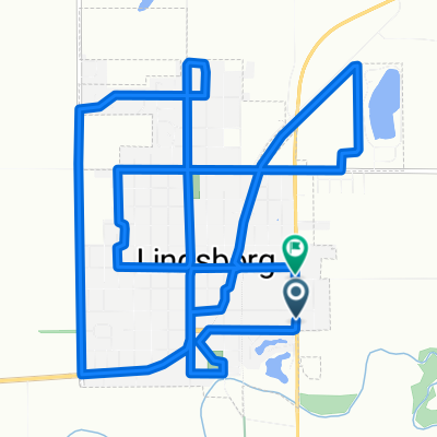
Välkommen Trail - Lindsborg
- 5 km
- 11 m
- 9 m
- Lindsborg, Kansas, United States
A cycling route starting in Lindsborg, Kansas, United States.
Overview
The Välkommen Trail opened Saturday, July 29th, 2006. This 2.5 mile all-weather bicycle and pedestrian trail was converted from abandoned Missouri-Pacific and Union Pacific rail beds. The trail, which meanders through our beautiful Lindsborg, is free for public use year round. At the trails southern most end, you can enjoy the sights and sounds of nature as you walk across a newly refurbished railroad bridge. The route includes a skate park and will extend to the northeast corner of Lindsborg in 2018. This is an all-weather trail and is well-used, throughout the year.
created this 8 years ago


Route quality
Path
4.4 km
88 %
Quiet road
0.5 km
11 %
Undefined
0 km
1 %
Paved
4.4 km
(88 %)
Concrete
4.4 km
88 %
Undefined
0.6 km
12 %
Continue with Bikemap
You would like to ride Välkommen Trail - Lindsborg or customize it for your own trip? Here is what you can do with this Bikemap route:
Free trial for 3 days, or one-time payment. More about Bikemap Premium.
Discover more Premium features.
Get Bikemap PremiumFrom our community
Open it in the app