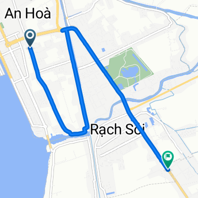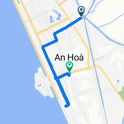

Restful route in Rach Gia
- 21 km
- 0 m
- 3 m
- Rach Gia, Kiên Giang Province, Vietnam
A cycling route starting in Rach Gia, Kiên Giang Province, Vietnam.
Overview
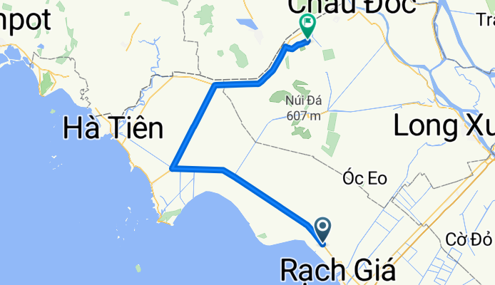
J08 — Friday, January 12, 2018 – My Hung – An Giang (Tinh Bien)
Distance covered: 114.26 Km - Average: 14.71 Km/h
Elevation gain: 196 m - Maximum incline: 4 % (11 % on certain bridges)
Elevation loss: 189 m - Maximum decline: 4 % (11% on certain bridges)
Starting altitude: 14 m - Arrival altitude: 21 m - Maximum altitude: 64 m
created this 8 years ago
Continue with Bikemap
You would like to ride J08 — Vendredi 12 janvier 2018 – My Hung – An Giang (Tinh Bien) or customize it for your own trip? Here is what you can do with this Bikemap route:
Free trial for 3 days, or one-time payment. More about Bikemap Premium.
Discover more Premium features.
Get Bikemap PremiumFrom our community
Open it in the app