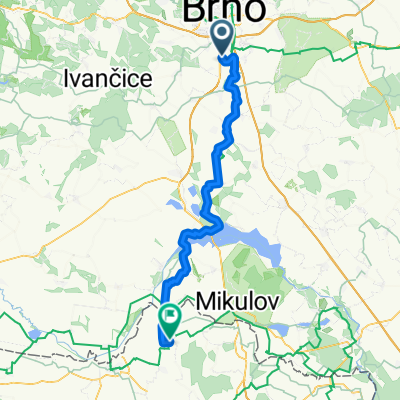
CTP Modřice - Maloměřice cars free route
- 16.7 km
- 43 m
- 33 m
- Modřice, South Moravian, Czechia
A cycling route starting in Modřice, South Moravian, Czechia.
Overview
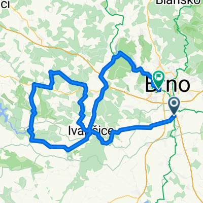
Olympie 14.1.2018
created this 7 years ago
Route quality
Road
26 km
(42 %)
Quiet road
0.6 km
(1 %)
Paved
42.8 km
(69 %)
Asphalt
42.8 km
(69 %)
Undefined
19.2 km
(31 %)
Continue with Bikemap
You would like to ride Olympie 14.1.2018 or customize it for your own trip? Here is what you can do with this Bikemap route:
Free trial for 3 days, or one-time payment. More about Bikemap Premium.
Discover more Premium features.
Get Bikemap PremiumFrom our community
Open it in the app