

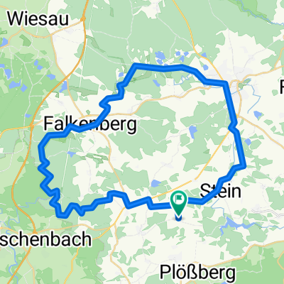
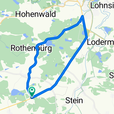
Roller-Route Rund um den Mühlnickelweiher
A cycling route starting in Schwarzenbach, Bavaria, Germany.
Overview
About this route
- -:--
- Duration
- 13.8 km
- Distance
- 159 m
- Ascent
- 159 m
- Descent
- ---
- Avg. speed
- ---
- Max. altitude

Route quality
Waytypes & surfaces along the route
Waytypes
Quiet road
7.3 km
(53 %)
Path
6.1 km
(44 %)
Surfaces
Paved
13.7 km
(99 %)
Unpaved
0.1 km
(1 %)
Asphalt
13.7 km
(99 %)
Gravel
0.1 km
(1 %)
Undefined
-0 km
(<1 %)
Continue with Bikemap
Use, edit, or download this cycling route
You would like to ride Roller-Route Rund um den Mühlnickelweiher or customize it for your own trip? Here is what you can do with this Bikemap route:
Free features
- Save this route as favorite or in collections
- Copy & plan your own version of this route
- Sync your route with Garmin or Wahoo
Premium features
Free trial for 3 days, or one-time payment. More about Bikemap Premium.
- Navigate this route on iOS & Android
- Export a GPX / KML file of this route
- Create your custom printout (try it for free)
- Download this route for offline navigation
Discover more Premium features.
Get Bikemap PremiumFrom our community
Other popular routes starting in Schwarzenbach
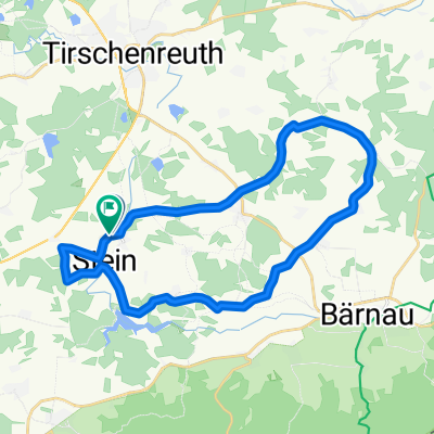
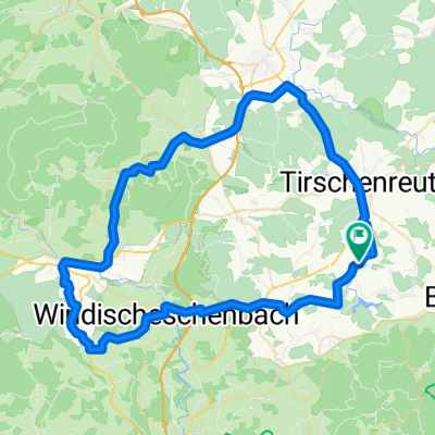
 Ins Waldnaabtal
- Distance
- 41.8 km
- Ascent
- 335 m
- Descent
- 335 m
- Location
- Schwarzenbach, Bavaria, Germany
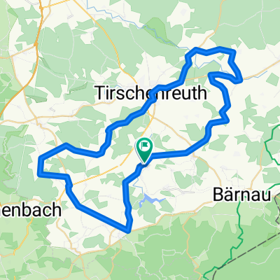
 Tirschenreuth 4
- Distance
- 25 km
- Ascent
- 347 m
- Descent
- 347 m
- Location
- Schwarzenbach, Bavaria, Germany
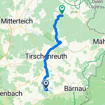 BH2CZ5.ETb
- Distance
- 23.8 km
- Ascent
- 311 m
- Descent
- 239 m
- Location
- Schwarzenbach, Bavaria, Germany
 Tirschenreuth 3
- Distance
- 52.9 km
- Ascent
- 477 m
- Descent
- 469 m
- Location
- Schwarzenbach, Bavaria, Germany
 Roller-Route Rund um den Mühlnickelweiher
- Distance
- 13.8 km
- Ascent
- 159 m
- Descent
- 159 m
- Location
- Schwarzenbach, Bavaria, Germany
 Stauseerunde von schönthan
- Distance
- 12.1 km
- Ascent
- 159 m
- Descent
- 157 m
- Location
- Schwarzenbach, Bavaria, Germany
 TIR 6
TIR 6- Distance
- 54.7 km
- Ascent
- 796 m
- Descent
- 796 m
- Location
- Schwarzenbach, Bavaria, Germany
 Liebenstein 2
- Distance
- 69.4 km
- Ascent
- 573 m
- Descent
- 565 m
- Location
- Schwarzenbach, Bavaria, Germany
Open it in the app