

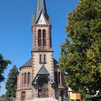
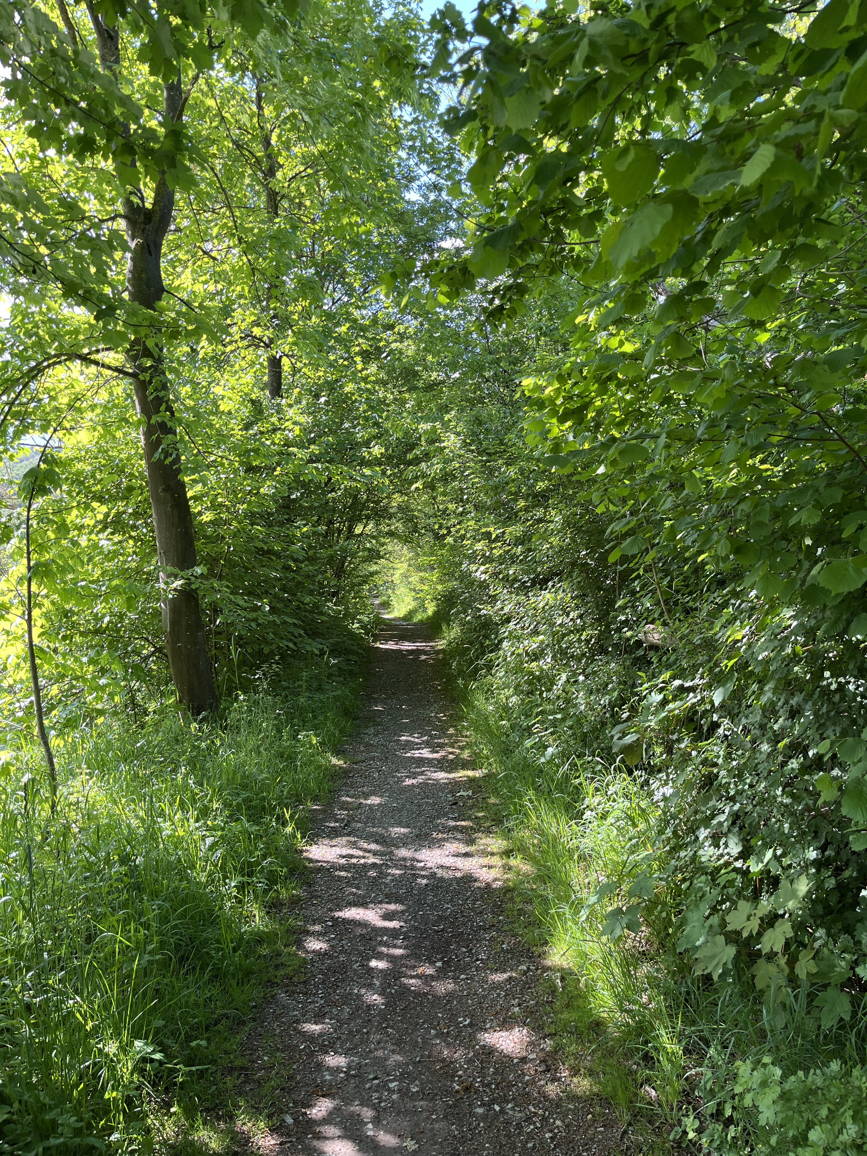
Eisenach: Kleine Hörselbergrunde
A cycling route starting in Eisenach, Thuringia, Germany.
Overview
About this route
Von Eisenach geht es über Wutha auf die Nordseite des Kleinen Hörselbergs. Nach 80 m Anstieg geht es bergab ins Nessetal und zurück über Stockhausen nach Eisenach.
- -:--
- Duration
- 20.7 km
- Distance
- 165 m
- Ascent
- 163 m
- Descent
- ---
- Avg. speed
- ---
- Max. altitude
Route quality
Waytypes & surfaces along the route
Waytypes
Track
8.9 km
(43 %)
Quiet road
6.8 km
(33 %)
Surfaces
Paved
15.5 km
(75 %)
Asphalt
15.3 km
(74 %)
Concrete
0.2 km
(1 %)
Undefined
5.2 km
(25 %)
Continue with Bikemap
Use, edit, or download this cycling route
You would like to ride Eisenach: Kleine Hörselbergrunde or customize it for your own trip? Here is what you can do with this Bikemap route:
Free features
- Save this route as favorite or in collections
- Copy & plan your own version of this route
- Sync your route with Garmin or Wahoo
Premium features
Free trial for 3 days, or one-time payment. More about Bikemap Premium.
- Navigate this route on iOS & Android
- Export a GPX / KML file of this route
- Create your custom printout (try it for free)
- Download this route for offline navigation
Discover more Premium features.
Get Bikemap PremiumFrom our community
Other popular routes starting in Eisenach
 Wartburg-Wilde Sau-Clausberg-Neuenhof
- Distance
- 28.7 km
- Ascent
- 432 m
- Descent
- 432 m
- Location
- Eisenach, Thuringia, Germany
 Eisenach wutha und zurück
- Distance
- 12.7 km
- Ascent
- 705 m
- Descent
- 747 m
- Location
- Eisenach, Thuringia, Germany
 Rund um Krauthausen im Altweibersommer 2014
- Distance
- 12.2 km
- Ascent
- 176 m
- Descent
- 178 m
- Location
- Eisenach, Thuringia, Germany
 große Runde
- Distance
- 62.1 km
- Ascent
- 474 m
- Descent
- 474 m
- Location
- Eisenach, Thuringia, Germany
![14.05.10 Eisenach-Weimar [Bilder]](https://media.bikemap.net/routes/490996/staticmaps/in_edc5d340-c37e-4125-ba2b-a2447fc4ffd7_400x400_bikemap-2021-3D-static.png) 14.05.10 Eisenach-Weimar [Bilder]
14.05.10 Eisenach-Weimar [Bilder]- Distance
- 100.9 km
- Ascent
- 508 m
- Descent
- 505 m
- Location
- Eisenach, Thuringia, Germany
 Alexanderstraße nach Börnersberg
- Distance
- 77.4 km
- Ascent
- 426 m
- Descent
- 366 m
- Location
- Eisenach, Thuringia, Germany
 Goethestraße, Eisenach nach Planstraße, Amt Creuzburg
- Distance
- 26.1 km
- Ascent
- 394 m
- Descent
- 431 m
- Location
- Eisenach, Thuringia, Germany
 Eisenach -Kerspenhausen
- Distance
- 79.7 km
- Ascent
- 537 m
- Descent
- 549 m
- Location
- Eisenach, Thuringia, Germany
Open it in the app