


Pont Rouge - Albanel
- 57.4 km
- 157 m
- 112 m
- Pont Rouge, Quebec, Canada
A cycling route starting in Pont Rouge, Quebec, Canada.
Overview
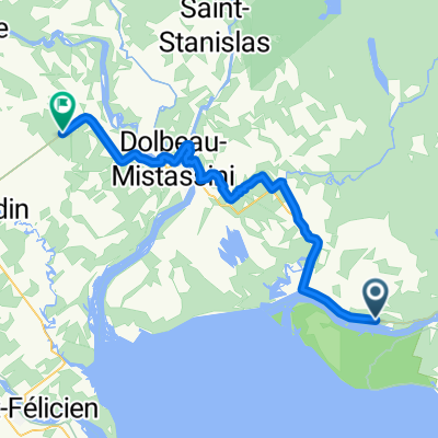
2nd part of the day # 2 from Pointe Taillon after the ferry and opportunity for relaxation at the beach
created this 7 years ago
Route quality
Cycleway
28.9 km
(39 %)
Quiet road
17 km
(23 %)
Paved
51.9 km
(70 %)
Unpaved
21.5 km
(29 %)
Asphalt
49.7 km
(67 %)
Gravel
21.5 km
(29 %)
Continue with Bikemap
You would like to ride 2/2 day 2 Pointe-Taillon- Métabetchouan or customize it for your own trip? Here is what you can do with this Bikemap route:
Free trial for 3 days, or one-time payment. More about Bikemap Premium.
Discover more Premium features.
Get Bikemap PremiumFrom our community
Open it in the app


