

110km 1
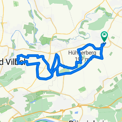
A cycling route starting in Niederdorfelden, Hesse, Germany.
Overview
About this route
NIEDERDORFELDEN
OBERDORFELDEN
KILIANSTÄDTEN - L3008
BÜDESHEIM - K853
NIDDERAU - B521
KAICHEN - B45
ERBSTADT -K243
FLORSTADT - L3188 L3189
KONTROLLE
REICHELSHEIM - K178
BINGENHEIM - L3187
Kreuzung rechts
LEIDHECKEN - L3188
LINKS
BLOFELD - L3187
Alte Strasse, dann links Richtung
DAUERNHEIM - L3187
Bei Wasserbrunnen links
GAIS NIDDA - K196
BAD SALZHAUSEN - K195
NIDDA - B457
MICHELNAU - L3185
OBER LAIS -L3185
RECHTS
UNTER LAIS - K199
SCHWICKARTSHAUSEN - K199
BOBENHAUSEN - K199
LINKS HOCH
WIPPENBACH - L3184
SELTERS - K218
BLEICHENBACH - B457
BÜCHES - B457
ORLESHAUSEN - L3195
CALBACH - L3195
ECKARTSHAUSEN - L3195
RECHTS
HIMBACH - L3189
ROMMELHAUSEN - L3189
KONTROLLE Ortausgang Nebenstrasse
OSTHEIM - L3347
HOHE STRAßE
OBERDORFELDEN
NIEDERDORFELDEN
Die Kontrolle befindet sich in Unter Lais an einer
Bushaltestelle wo Sonntags keine Busse fahren
- -:--
- Duration
- 106.7 km
- Distance
- 563 m
- Ascent
- 565 m
- Descent
- ---
- Avg. speed
- ---
- Max. altitude

Route quality
Waytypes & surfaces along the route
Waytypes
Road
24.5 km
(23 %)
Quiet road
16 km
(15 %)
Surfaces
Paved
70.4 km
(66 %)
Unpaved
7.5 km
(7 %)
Asphalt
69.4 km
(65 %)
Ground
5.3 km
(5 %)
Continue with Bikemap
Use, edit, or download this cycling route
You would like to ride 110km 1 or customize it for your own trip? Here is what you can do with this Bikemap route:
Free features
- Save this route as favorite or in collections
- Copy & plan your own version of this route
- Split it into stages to create a multi-day tour
- Sync your route with Garmin or Wahoo
Premium features
Free trial for 3 days, or one-time payment. More about Bikemap Premium.
- Navigate this route on iOS & Android
- Export a GPX / KML file of this route
- Create your custom printout (try it for free)
- Download this route for offline navigation
Discover more Premium features.
Get Bikemap PremiumFrom our community
Other popular routes starting in Niederdorfelden
 Herbst Tour 2010 115km
- Distance
- 118.4 km
- Ascent
- 844 m
- Descent
- 815 m
- Location
- Niederdorfelden, Hesse, Germany
 Radrunde durch Schöneck
- Distance
- 16.6 km
- Ascent
- 66 m
- Descent
- 63 m
- Location
- Niederdorfelden, Hesse, Germany
 Hausroute
- Distance
- 25.8 km
- Ascent
- 147 m
- Descent
- 148 m
- Location
- Niederdorfelden, Hesse, Germany
 Home-Loop 3: Wilhelmsbad - Hochstadt - Wachenbuchen
- Distance
- 23.4 km
- Ascent
- 182 m
- Descent
- 182 m
- Location
- Niederdorfelden, Hesse, Germany
 Schoeneck-Nidda Loop
- Distance
- 97.7 km
- Ascent
- 855 m
- Descent
- 851 m
- Location
- Niederdorfelden, Hesse, Germany
 Home-Loop 2: Hohe Straße - Niederdorfelden - Bad Vilbel - zurück
- Distance
- 26.7 km
- Ascent
- 264 m
- Descent
- 264 m
- Location
- Niederdorfelden, Hesse, Germany
 Frühjahrstour 40Km
- Distance
- 40.9 km
- Ascent
- 130 m
- Descent
- 112 m
- Location
- Niederdorfelden, Hesse, Germany
 Kloster Engelthal_45km
- Distance
- 51 km
- Ascent
- 438 m
- Descent
- 436 m
- Location
- Niederdorfelden, Hesse, Germany
Open it in the app