Berliner Mauerweg
Berliner Mauerweg Teil 2: Vom Wannsee bis zum Hauptbahnhof
A cycling route starting in Wannsee, State of Berlin, Germany.
Overview
About this route
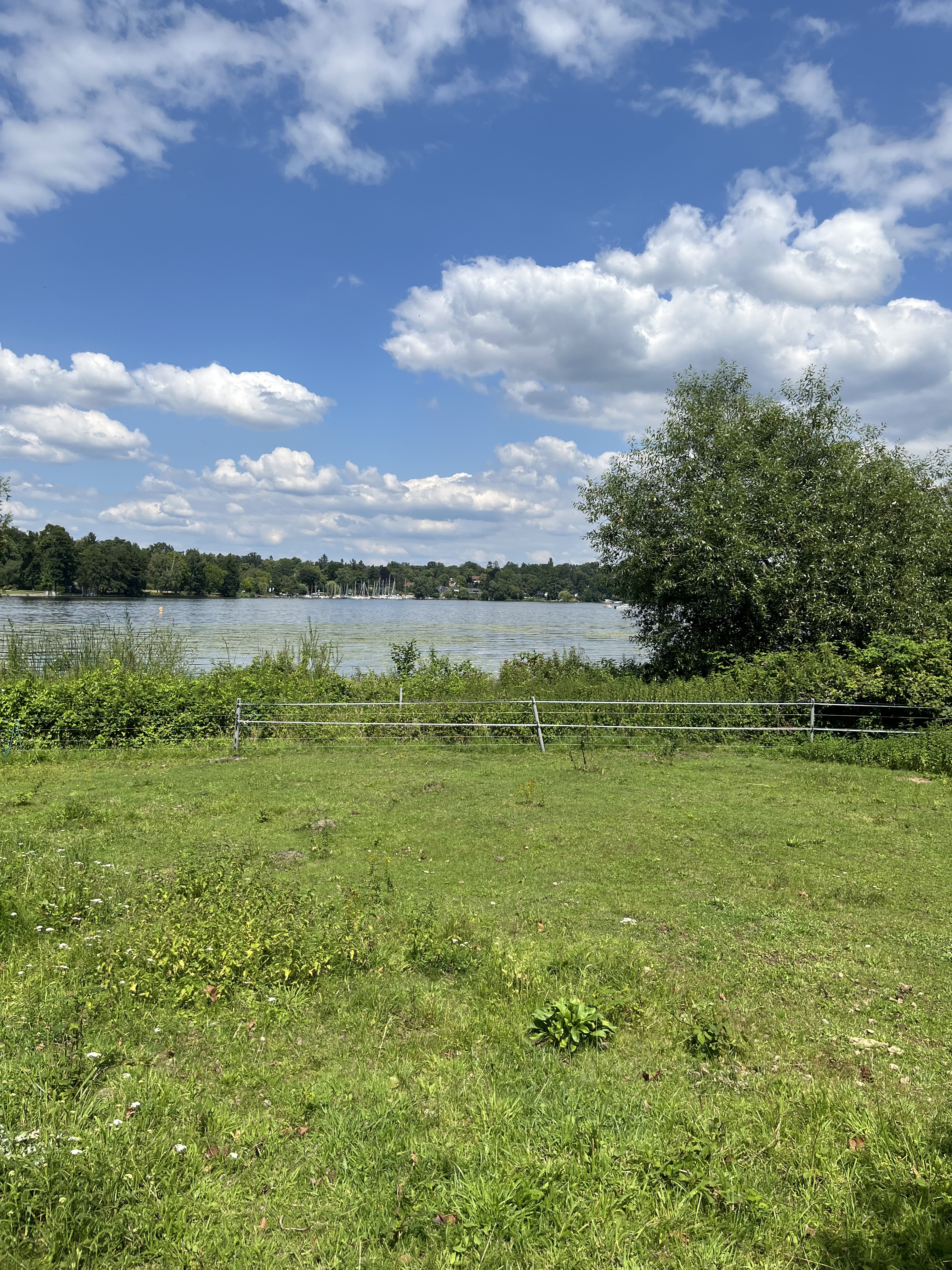
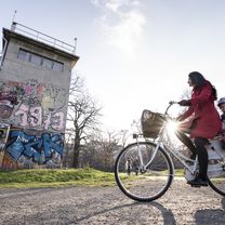
A twenty-minute ferry ride across the Wannsee kicks off the day trip. It then continues through scenic corners one wouldn't expect in a million-strong metropolis. Those traveling with children will be delighted to find three farms along the way offering petting and feeding opportunities. Additionally, there are various informational and memorial plaques about the course of the Berlin Wall, such as at the former crossing of Bornholmer Straße, where the border was opened on November 9, 1989.
- -:--
 - Duration
 - 80.2 km
 - Distance
 - 130 m
 - Ascent
 - 144 m
 - Descent
 - ---
 - Avg. speed
 - ---
 - Max. altitude
 
Part of
Berliner Mauerweg
2 stages
Route photos
Route quality
Waytypes & surfaces along the route
Waytypes
Path
24.9 km
(31 %)
Cycleway
17.6 km
(22 %)
Surfaces
Paved
52.1 km
(65 %)
Unpaved
4.8 km
(6 %)
Asphalt
51.3 km
(64 %)
Ground
3.2 km
(4 %)
Continue with Bikemap
Use, edit, or download this cycling route
You would like to ride Berliner Mauerweg Teil 2: Vom Wannsee bis zum Hauptbahnhof or customize it for your own trip? Here is what you can do with this Bikemap route:
Free features
- Save this route as favorite or in collections
 - Copy & plan your own version of this route
 - Split it into stages to create a multi-day tour
 - Sync your route with Garmin or Wahoo
 
Premium features
Free trial for 3 days, or one-time payment. More about Bikemap Premium.
- Navigate this route on iOS & Android
 - Export a GPX / KML file of this route
 - Create your custom printout (try it for free)
 - Download this route for offline navigation
 
Discover more Premium features.
Get Bikemap PremiumFrom our community
Other popular routes starting in Wannsee
50 km Wannsee Runde- Distance
 - 36.4 km
 - Ascent
 - 232 m
 - Descent
 - 234 m
 - Location
 - Wannsee, State of Berlin, Germany
 
Rudolf-Breitscheid-Straße, Potsdam nach Babelsberger Straße, Potsdam- Distance
 - 19.1 km
 - Ascent
 - 110 m
 - Descent
 - 105 m
 - Location
 - Wannsee, State of Berlin, Germany
 
Babelsberg - Glienicker Brücke - Potsdam - Templiner See- Distance
 - 39.6 km
 - Ascent
 - 88 m
 - Descent
 - 75 m
 - Location
 - Wannsee, State of Berlin, Germany
 
Berliner Mauerweg Teil 2: Vom Wannsee bis zum Hauptbahnhof- Distance
 - 80.2 km
 - Ascent
 - 130 m
 - Descent
 - 144 m
 - Location
 - Wannsee, State of Berlin, Germany
 
Berlin Wannsee- Brandenburg- Distance
 - 49.3 km
 - Ascent
 - 119 m
 - Descent
 - 131 m
 - Location
 - Wannsee, State of Berlin, Germany
 
Wannsee-Runde- Distance
 - 17.3 km
 - Ascent
 - 126 m
 - Descent
 - 128 m
 - Location
 - Wannsee, State of Berlin, Germany
 
Wannseerunde- Distance
 - 20.6 km
 - Ascent
 - 119 m
 - Descent
 - 124 m
 - Location
 - Wannsee, State of Berlin, Germany
 
50 km Giro di Wannsee- Distance
 - 47 km
 - Ascent
 - 270 m
 - Descent
 - 270 m
 - Location
 - Wannsee, State of Berlin, Germany
 
Open it in the app


