Ruta04Parpers Can Bordoi i tornada per Santa Agnès
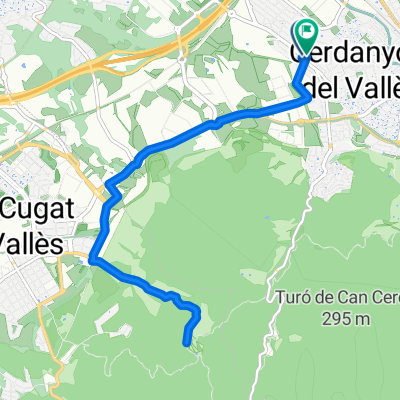
A cycling route starting in Cerdanyola del Vallès, Catalonia, Spain.
Overview
About this route
Ruta que segueix prĂ cticament en la seva totalitat la ruta 01 (Parpers anada i tornada), però que a diferència d’aquesta, en lloc de girar cua a Parpers, continua cap a Dosrius i puja a Can Bordoi per les dues vessants. De tornada passem per Santa Agnès de Malanyanes i de nou agafem la Carretera de la Roca direcciĂł Cerdanyola.Â
PROMIG TEMPS A 28km/h2h54m
26km/h3h08m
24km/h3h23m
- -:--
- Duration
- 81.6 km
- Distance
- 696 m
- Ascent
- 697 m
- Descent
- ---
- Avg. speed
- ---
- Avg. speed
Route quality
Waytypes & surfaces along the route
Waytypes
Road
64.1 km
(79 %)
Quiet road
9.2 km
(11 %)
Surfaces
Paved
41.5 km
(51 %)
Unpaved
0 km
(<1 %)
Asphalt
41.2 km
(50 %)
Concrete
0.3 km
(<1 %)
Continue with Bikemap
Use, edit, or download this cycling route
You would like to ride Ruta04Parpers Can Bordoi i tornada per Santa Agnès or customize it for your own trip? Here is what you can do with this Bikemap route:
Free features
- Save this route as favorite or in collections
- Copy & plan your own version of this route
- Sync your route with Garmin or Wahoo
Premium features
Free trial for 3 days, or one-time payment. More about Bikemap Premium.
- Navigate this route on iOS & Android
- Export a GPX / KML file of this route
- Create your custom printout (try it for free)
- Download this route for offline navigation
Discover more Premium features.
Get Bikemap PremiumFrom our community
Other popular routes starting in Cerdanyola del Vallès
- Casi para el camion de la bimbo bosque perdido - bonus cerveza
- Distance
- 16.5 km
- Ascent
- 418 m
- Descent
- 418 m
- Location
- Cerdanyola del Vallès, Catalonia, Spain
- Ruta14Quatre vents per Castellbisball
- Distance
- 53.3 km
- Ascent
- 505 m
- Descent
- 508 m
- Location
- Cerdanyola del Vallès, Catalonia, Spain
- Ruta51 Sant Pere Martir i tornada
- Distance
- 44.7 km
- Ascent
- 721 m
- Descent
- 726 m
- Location
- Cerdanyola del Vallès, Catalonia, Spain
- BCN-CRĂ‘ Nov_2015
- Distance
- 1,140.7 km
- Ascent
- 3,049 m
- Descent
- 3,116 m
- Location
- Cerdanyola del Vallès, Catalonia, Spain
- Ruta17Ullastrell
- Distance
- 67.7 km
- Ascent
- 628 m
- Descent
- 637 m
- Location
- Cerdanyola del Vallès, Catalonia, Spain
- Ruta02 Volta per Crta. Molins.
- Distance
- 43.6 km
- Ascent
- 687 m
- Descent
- 679 m
- Location
- Cerdanyola del Vallès, Catalonia, Spain
- hasta barcelona
- Distance
- 11 km
- Ascent
- 269 m
- Descent
- 269 m
- Location
- Cerdanyola del Vallès, Catalonia, Spain
- Ruta54 Tot per pista. Casi
- Distance
- 28.6 km
- Ascent
- 498 m
- Descent
- 505 m
- Location
- Cerdanyola del Vallès, Catalonia, Spain
Open it in the app