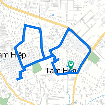
14 Hẻm 722/15 Quốc Lộ 1A, TP. Biên Hòa to 9 Hẻm 722/15 Quốc Lộ 1A, TP. Biên Hòa
- 6.3 km
- 43 m
- 48 m
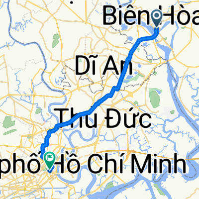
- Biên Hòa, Đồng Nai Province, Vietnam
A cycling route starting in Biên Hòa, Đồng Nai Province, Vietnam.
Overview
J13 — Wednesday, January 17, 2018 – Bien Hoa – Gia Ray
Distance covered: 72.67 km – Average: 14.77 km/h
Elevation gain: 471 m - Max uphill gradient: 5 %
Elevation loss: 372 m - Max downhill gradient: 4 %
Starting altitude: 55 m - Finishing altitude: 154 m - Max altitude: 243 m
created this 7 years ago
Continue with Bikemap
You would like to ride J13 — Mercredi 17 janvier 2018 – Bien Hoa – Gia Ray or customize it for your own trip? Here is what you can do with this Bikemap route:
Free trial for 3 days, or one-time payment. More about Bikemap Premium.
Discover more Premium features.
Get Bikemap PremiumFrom our community
Open it in the app