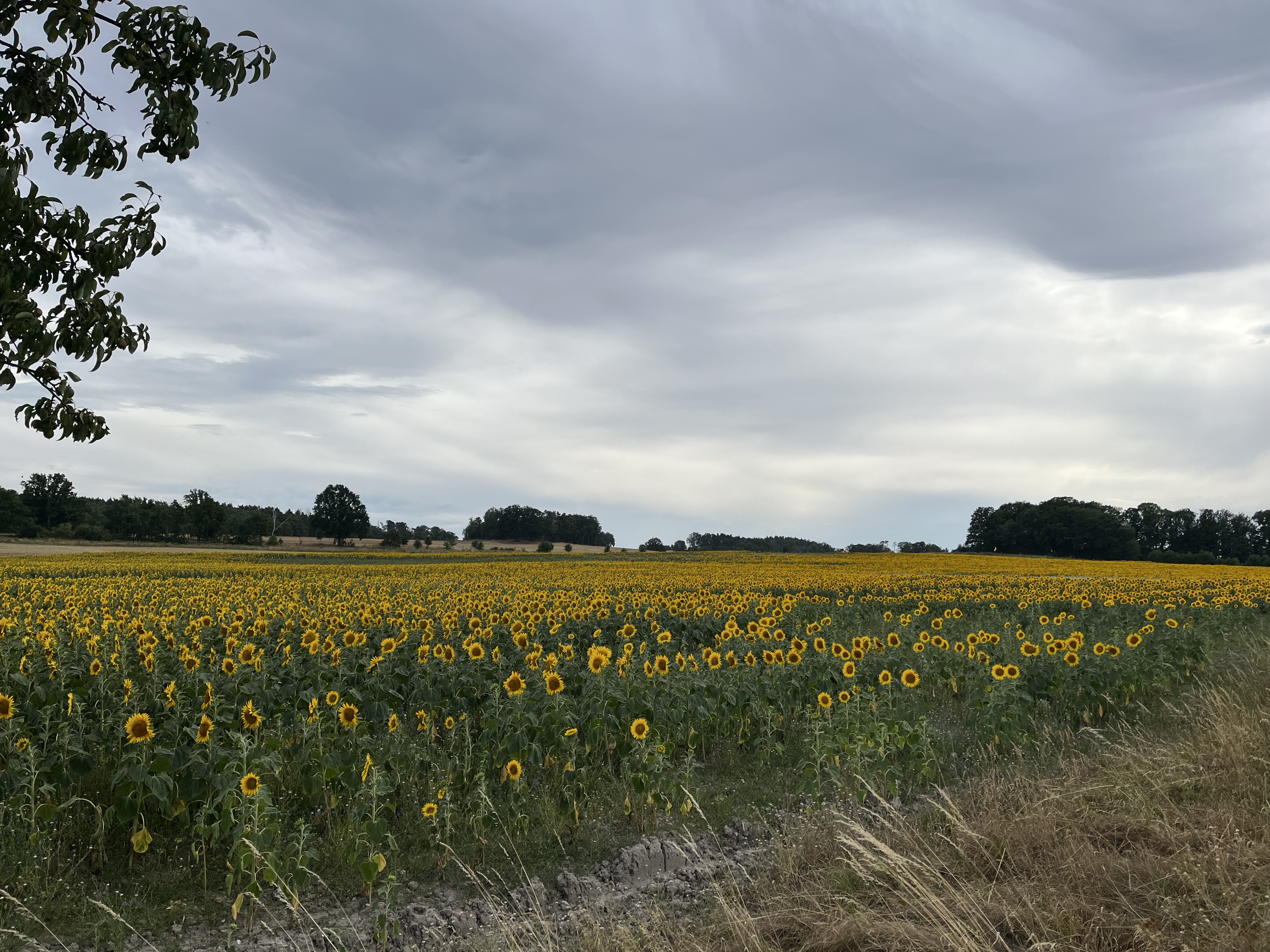
Rundwanderweg Reudnitz - Zeuckritz - Schöna - Olganitz - Reudnitz
A cycling route starting in Cavertitz, Saxony, Germany.
Overview
About this route
Dieser Rundwanderweg startet am Scheffeteich in der nä
- -:--
- Duration
- 16.3 km
- Distance
- 163 m
- Ascent
- 163 m
- Descent
- ---
- Avg. speed
- ---
- Max. altitude
Route quality
Waytypes & surfaces along the route
Waytypes
Quiet road
6 km
(37 %)
Track
5.6 km
(34 %)
Surfaces
Paved
8.1 km
(50 %)
Unpaved
5.5 km
(34 %)
Asphalt
7.6 km
(47 %)
Ground
3.5 km
(21 %)
Route highlights
Points of interest along the route
Point of interest after 1.9 km
Rote Brücke
Point of interest after 2.7 km
Quelle Immergrün
Point of interest after 4.2 km
Restaurierte Bockwindmühle: In der südlichen Dahlener Heide gelegen, bis 1954 in Betrieb, einfacher Aufbau und Arbeitsweise. Bild- & Textquelle: www.navigator-leipzig-mittelsachsen.de
Point of interest after 4.2 km
Restaurierte Bockwindmühle: In der südlichen Dahlener Heide gelegen, bis 1954 in Betrieb, einfacher Aufbau und Arbeitsweise. Bild- & Textquelle: www.navigator-leipzig-mittelsachsen.de
Point of interest after 15.3 km
Das NSG “Reudnitz” zieht sich als schmales Band, beginnend von der “Tabakskiefer” (Holzstraße) entlang des “Hirschbachtales” hin. Die Ortslage Reudnitz unterbricht das Naturschutzgebiet. Das NSG setzt sich wieder am “Augustteich” fort, schließt weiter den “Köhlerteich”,”Lurchteich” und “Zahlteich” e
Continue with Bikemap
Use, edit, or download this cycling route
You would like to ride Rundwanderweg Reudnitz - Zeuckritz - Schöna - Olganitz - Reudnitz or customize it for your own trip? Here is what you can do with this Bikemap route:
Free features
- Save this route as favorite or in collections
- Copy & plan your own version of this route
- Sync your route with Garmin or Wahoo
Premium features
Free trial for 3 days, or one-time payment. More about Bikemap Premium.
- Navigate this route on iOS & Android
- Export a GPX / KML file of this route
- Create your custom printout (try it for free)
- Download this route for offline navigation
Discover more Premium features.
Get Bikemap PremiumFrom our community
Other popular routes starting in Cavertitz
 Bockwitz, Belgern-Schildau nach Bockwitz, Belgern-Schildau
- Distance
- 9.4 km
- Ascent
- 111 m
- Descent
- 81 m
- Location
- Cavertitz, Saxony, Germany
 Dahlener Heide
- Distance
- 25.7 km
- Ascent
- 222 m
- Descent
- 208 m
- Location
- Cavertitz, Saxony, Germany
 Rundwanderweg Reudnitz - Jägereiche - Schmannewitz - Reudnitz
- Distance
- 15.8 km
- Ascent
- 169 m
- Descent
- 169 m
- Location
- Cavertitz, Saxony, Germany
 ToFt6
ToFt6- Distance
- 81 km
- Ascent
- 655 m
- Descent
- 549 m
- Location
- Cavertitz, Saxony, Germany
 Olganitz Neußen
- Distance
- 5.8 km
- Ascent
- 61 m
- Descent
- 86 m
- Location
- Cavertitz, Saxony, Germany
 Olganitz Schmannewitz
- Distance
- 9.1 km
- Ascent
- 123 m
- Descent
- 118 m
- Location
- Cavertitz, Saxony, Germany
 Schöna-Strehla-Cavertitz
- Distance
- 33.7 km
- Ascent
- 131 m
- Descent
- 131 m
- Location
- Cavertitz, Saxony, Germany
 Moderate route in Cavertitz
- Distance
- 0.2 km
- Ascent
- 4 m
- Descent
- 0 m
- Location
- Cavertitz, Saxony, Germany
Open it in the app


