
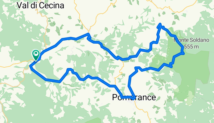
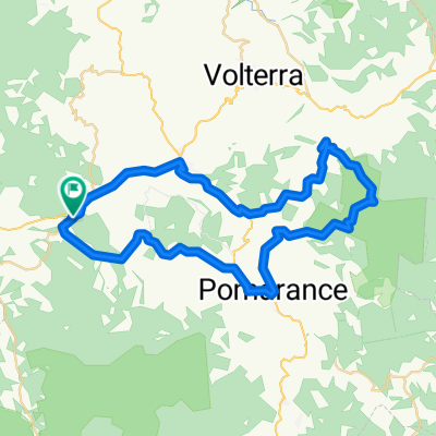
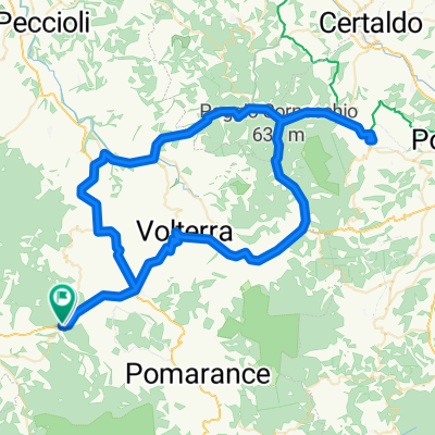
Ponteginori-Saline di Volterra-Mazzolla-Pomarance-Ponteginori
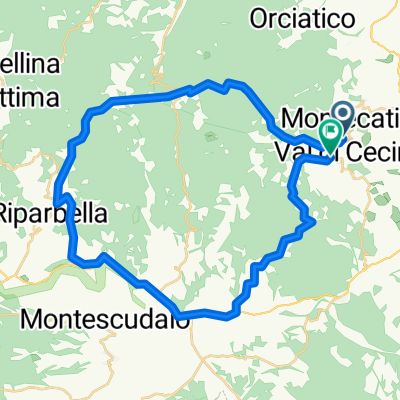
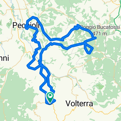
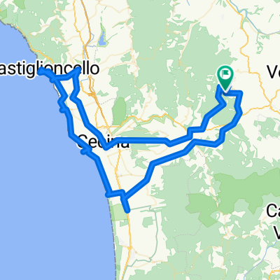
A cycling route starting in Montecatini, Tuscany, Italy.
Overview
About this route
Starting from Ponteginori, you reach Saline di Volterra by following some bike path sections. In Saline, you turn towards Pomarance. A gentle ascent for about 1 km, then at km 11.8, you turn left, abandoning the regional road. You climb for about 4 km. You coast for just over 1 km, then you start ascending again until you reach Mazzolla where we arrive at km 20. Here, if you want, you can take advantage of the excellent restaurant for a nice plate of pici cacio e pepe (Phone 058839001 - Cell 3885684822).
From Mazzolla, you reach Pomarance via a beautiful unpaved stretch of about 10 km (the first 3 km uphill) inside the Berignone Nature Reserve. After leaving the Berignone Nature Reserve, 4 tough km of climbing await you to arrive at Pomarance.
From Pomarance, you head towards Saline, but after 2 km, you turn towards Montegemoli. About 1 km before arriving in Montegemoli, you turn left onto a dirt road and descend into the valley where three or four fords await you before reaching the SP for Micciano and Ponteginori. NOTE: In a rainy period, it's better to continue towards Montegemoli and descend on asphalt until you reach the Salaiola road and Ponteginori.
- -:--
- Duration
- 53.2 km
- Distance
- 859 m
- Ascent
- 860 m
- Descent
- ---
- Avg. speed
- ---
- Max. altitude
Route quality
Waytypes & surfaces along the route
Waytypes
Track
20.2 km
(38 %)
Quiet road
16 km
(30 %)
Surfaces
Paved
20.2 km
(38 %)
Unpaved
17 km
(32 %)
Asphalt
20.2 km
(38 %)
Ground
11.7 km
(22 %)
Continue with Bikemap
Use, edit, or download this cycling route
You would like to ride Ponteginori-Saline di Volterra-Mazzolla-Pomarance-Ponteginori or customize it for your own trip? Here is what you can do with this Bikemap route:
Free features
- Save this route as favorite or in collections
- Copy & plan your own version of this route
- Sync your route with Garmin or Wahoo
Premium features
Free trial for 3 days, or one-time payment. More about Bikemap Premium.
- Navigate this route on iOS & Android
- Export a GPX / KML file of this route
- Create your custom printout (try it for free)
- Download this route for offline navigation
Discover more Premium features.
Get Bikemap PremiumFrom our community
Other popular routes starting in Montecatini
 Saline di Volterra-Iano-San Vivaldo-Toiano-Saline
- Distance
- 86.4 km
- Ascent
- 1,144 m
- Descent
- 1,137 m
- Location
- Montecatini, Tuscany, Italy
 voltera opt
- Distance
- 57.7 km
- Ascent
- 1,197 m
- Descent
- 784 m
- Location
- Montecatini, Tuscany, Italy
 Voltera San Gimingano
- Distance
- 96.8 km
- Ascent
- 1,785 m
- Descent
- 1,697 m
- Location
- Montecatini, Tuscany, Italy
 Toskania 3
- Distance
- 39.3 km
- Ascent
- 809 m
- Descent
- 806 m
- Location
- Montecatini, Tuscany, Italy
 Saline di Volterra-Iano-San Vivaldo-Saline
- Distance
- 92.6 km
- Ascent
- 1,115 m
- Descent
- 1,117 m
- Location
- Montecatini, Tuscany, Italy
 Ponteginori-Saline di Volterra-Mazzolla-Pomarance-Ponteginori
- Distance
- 53.2 km
- Ascent
- 859 m
- Descent
- 860 m
- Location
- Montecatini, Tuscany, Italy
 Cecina
- Distance
- 120.9 km
- Ascent
- 824 m
- Descent
- 813 m
- Location
- Montecatini, Tuscany, Italy
 ponteginori Volterra Sangimignano Ponteginori
- Distance
- 96.2 km
- Ascent
- 1,085 m
- Descent
- 1,086 m
- Location
- Montecatini, Tuscany, Italy
Open it in the app