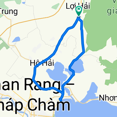
J17 — Dimanche 21 janvier 2018 – Ho Hai – Nha Trang
- 93.7 km
- 238 m
- 229 m
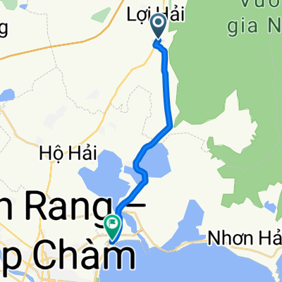
- Khánh Hải, Ninh Thuận Province, Vietnam
A cycling route starting in Khánh Hải, Ninh Thuận Province, Vietnam.
Overview
J17 — Sunday, January 21, 2018 – Ho Hai – Nha Trang
Distance covered: 92.96 Km - Average: 12.95 Km/h
Elevation gain: 299 m - Maximum ascent gradient: 6 %
Elevation loss: 299 m - Maximum descent gradient: 5 %
Starting altitude: 4 m - Finishing altitude: 4 m - Maximum altitude: 73 m
created this 7 years ago
Continue with Bikemap
You would like to ride J17 — Dimanche 21 janvier 2018 – Ho Hai – Nha Trang or customize it for your own trip? Here is what you can do with this Bikemap route:
Free trial for 3 days, or one-time payment. More about Bikemap Premium.
Discover more Premium features.
Get Bikemap PremiumFrom our community
Open it in the app